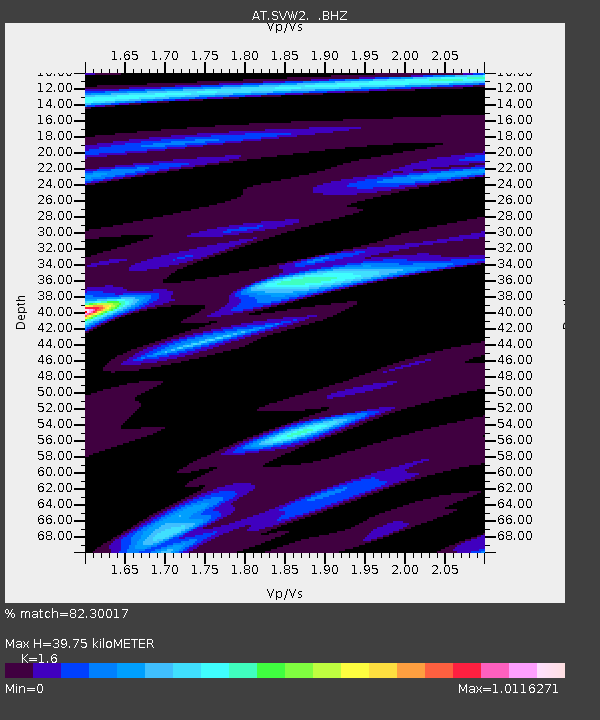
SVW2 Sparrevohn, Alaska - Earthquake Result Viewer

Earthquake location: Near Coast Of Northern Peru
Earthquake latitude/longitude: -5.4/-81.9
Earthquake time(UTC): 2013/08/12 (224) 09:49:32 GMT
Earthquake Depth: 10 km
Earthquake Magnitude: 6.2 MWW, 6.1 MWB, 6.2 MWW, 6.2 MWC, 6.3 MWC
Earthquake Catalog/Contributor: NEIC PDE/NEIC COMCAT
Network: AT Alaska Tsunami Warning Seismic System
Station: SVW2 Sparrevohn, Alaska
Lat/Lon: 61.11 N/155.62 W
Elevation: 499 m
Distance: 86.9 deg
Az: 332.173 deg
Baz: 106.866 deg
Ray Param: 0.04371498
Estimated Moho Depth: 39.75 km
Estimated Crust Vp/Vs: 1.60
Assumed Crust Vp: 6.566 km/s
Estimated Crust Vs: 4.104 km/s
Estimated Crust Poisson's Ratio: 0.18
Radial Match: 82.30017 %
Radial Bump: 400
Transverse Match: 67.26684 %
Transverse Bump: 400
SOD ConfigId: 626651
Insert Time: 2014-04-17 22:56:31.276 +0000
GWidth: 2.5
Max Bumps: 400
Tol: 0.001

Signal To Noise

ChannelStoNSTALTA
AT:SVW2: :BHZ:20130812T10:01:45.719985Z19.5425381.3831183E-67.077476E-8
AT:SVW2: :BHN:20130812T10:01:45.719985Z1.57112251.5958356E-71.0157296E-7
AT:SVW2: :BHE:20130812T10:01:45.719985Z5.20922954.879772E-79.367551E-8
Arrivals
Ps3.7 SECOND
PpPs15 SECOND
PsPs/PpSs19 SECOND