R49A Shelbyville, KY, USA - Earthquake Result Viewer
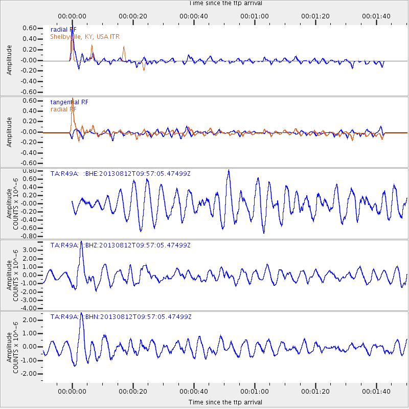
Earthquake location: Near Coast Of Northern Peru
Earthquake latitude/longitude: -5.4/-81.9
Earthquake time(UTC): 2013/08/12 (224) 09:49:32 GMT
Earthquake Depth: 10 km
Earthquake Magnitude: 6.2 MWW, 6.1 MWB, 6.2 MWW, 6.2 MWC, 6.3 MWC
Earthquake Catalog/Contributor: NEIC PDE/NEIC COMCAT
Network: TA USArray Transportable Network (new EarthScope stations)
Station: R49A Shelbyville, KY, USA
Lat/Lon: 38.29 N/85.17 W
Elevation: 251 m
Distance: 43.6 deg
Az: 356.295 deg
Baz: 175.31 deg
Ray Param: 0.07246787
Estimated Moho Depth: 35.75 km
Estimated Crust Vp/Vs: 2.00
Assumed Crust Vp: 6.498 km/s
Estimated Crust Vs: 3.249 km/s
Estimated Crust Poisson's Ratio: 0.33
Radial Match: 82.204765 %
Radial Bump: 363
Transverse Match: 75.22143 %
Transverse Bump: 400
SOD ConfigId: 626651
Insert Time: 2014-04-17 23:33:06.644 +0000
GWidth: 2.5
Max Bumps: 400
Tol: 0.001

Signal To Noise

ChannelStoNSTALTA
TA:R49A: :BHZ:20130812T09:57:05.47499Z4.5388251.7853243E-63.9334503E-7
TA:R49A: :BHN:20130812T09:57:05.47499Z4.60879561.2906343E-62.8003723E-7
TA:R49A: :BHE:20130812T09:57:05.47499Z1.0985682.823731E-72.570374E-7
Arrivals
Ps5.8 SECOND
PpPs16 SECOND
PsPs/PpSs21 SECOND