S51A Beattyville, KY, USA - Earthquake Result Viewer
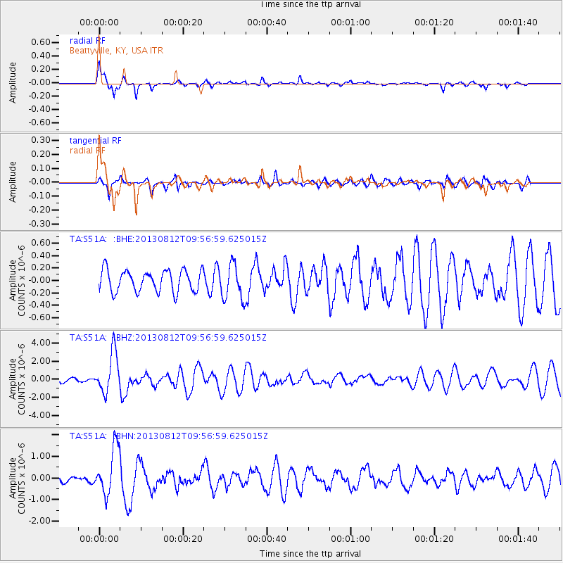
Earthquake location: Near Coast Of Northern Peru
Earthquake latitude/longitude: -5.4/-81.9
Earthquake time(UTC): 2013/08/12 (224) 09:49:32 GMT
Earthquake Depth: 10 km
Earthquake Magnitude: 6.2 MWW, 6.1 MWB, 6.2 MWW, 6.2 MWC, 6.3 MWC
Earthquake Catalog/Contributor: NEIC PDE/NEIC COMCAT
Network: TA USArray Transportable Network (new EarthScope stations)
Station: S51A Beattyville, KY, USA
Lat/Lon: 37.64 N/83.59 W
Elevation: 286 m
Distance: 42.8 deg
Az: 358.054 deg
Baz: 177.559 deg
Ray Param: 0.07293161
Estimated Moho Depth: 19.0 km
Estimated Crust Vp/Vs: 1.61
Assumed Crust Vp: 6.476 km/s
Estimated Crust Vs: 4.035 km/s
Estimated Crust Poisson's Ratio: 0.18
Radial Match: 82.7845 %
Radial Bump: 318
Transverse Match: 63.49788 %
Transverse Bump: 400
SOD ConfigId: 626651
Insert Time: 2014-04-17 23:33:56.417 +0000
GWidth: 2.5
Max Bumps: 400
Tol: 0.001

Signal To Noise

ChannelStoNSTALTA
TA:S51A: :BHZ:20130812T09:56:59.625015Z5.057072.2794216E-64.5073955E-7
TA:S51A: :BHN:20130812T09:56:59.625015Z5.1445481.1253494E-62.1874602E-7
TA:S51A: :BHE:20130812T09:56:59.625015Z1.68044782.8933658E-71.7217826E-7
Arrivals
Ps1.9 SECOND
PpPs7.1 SECOND
PsPs/PpSs9.0 SECOND