T60A Surry, VA, USA - Earthquake Result Viewer
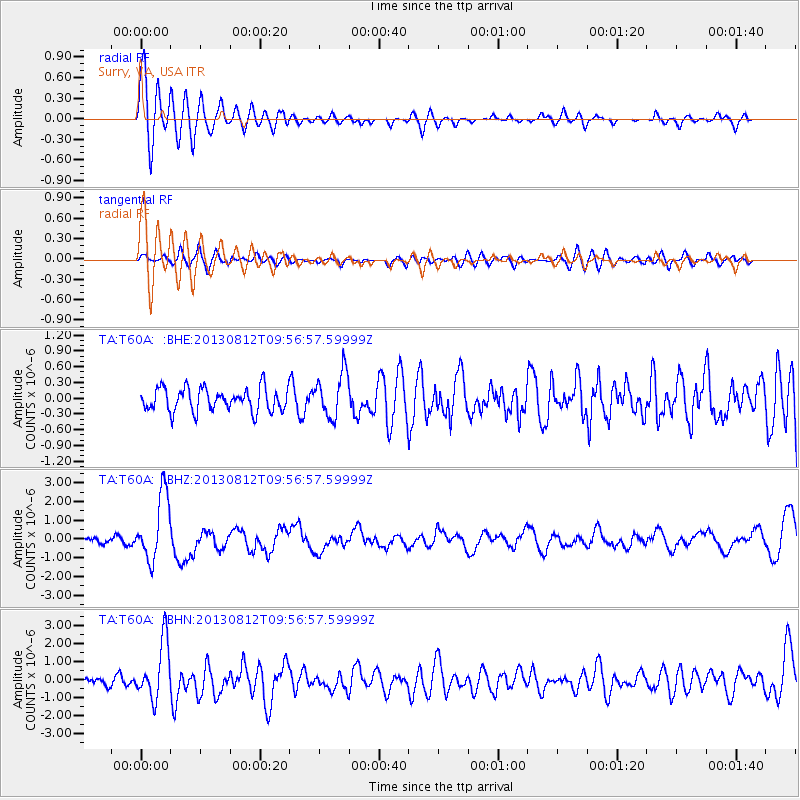
Earthquake location: Near Coast Of Northern Peru
Earthquake latitude/longitude: -5.4/-81.9
Earthquake time(UTC): 2013/08/12 (224) 09:49:32 GMT
Earthquake Depth: 10 km
Earthquake Magnitude: 6.2 MWW, 6.1 MWB, 6.2 MWW, 6.2 MWC, 6.3 MWC
Earthquake Catalog/Contributor: NEIC PDE/NEIC COMCAT
Network: TA USArray Transportable Network (new EarthScope stations)
Station: T60A Surry, VA, USA
Lat/Lon: 37.14 N/76.73 W
Elevation: 11 m
Distance: 42.6 deg
Az: 6.134 deg
Baz: 187.65 deg
Ray Param: 0.07308618
Estimated Moho Depth: 59.5 km
Estimated Crust Vp/Vs: 1.78
Assumed Crust Vp: 6.565 km/s
Estimated Crust Vs: 3.693 km/s
Estimated Crust Poisson's Ratio: 0.27
Radial Match: 81.627975 %
Radial Bump: 400
Transverse Match: 54.98629 %
Transverse Bump: 400
SOD ConfigId: 626651
Insert Time: 2014-04-17 23:35:07.600 +0000
GWidth: 2.5
Max Bumps: 400
Tol: 0.001

Signal To Noise

ChannelStoNSTALTA
TA:T60A: :BHZ:20130812T09:56:57.59999Z14.8767291.7693706E-61.1893545E-7
TA:T60A: :BHN:20130812T09:56:57.59999Z7.7265921.6192865E-62.0957319E-7
TA:T60A: :BHE:20130812T09:56:57.59999Z1.91306324.236567E-72.2145463E-7
Arrivals
Ps7.6 SECOND
PpPs23 SECOND
PsPs/PpSs31 SECOND