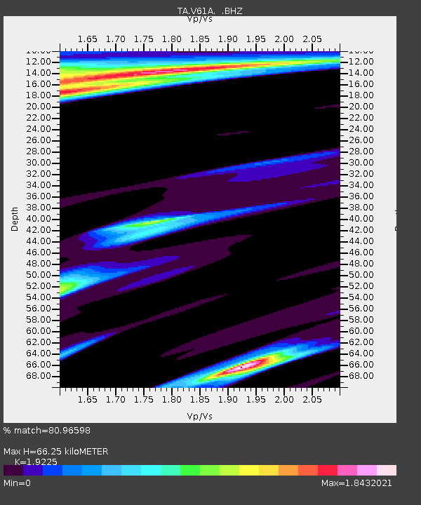
V61A Roper, NC, USA - Earthquake Result Viewer

Earthquake location: Near Coast Of Northern Peru
Earthquake latitude/longitude: -5.4/-81.9
Earthquake time(UTC): 2013/08/12 (224) 09:49:32 GMT
Earthquake Depth: 10 km
Earthquake Magnitude: 6.2 MWW, 6.1 MWB, 6.2 MWW, 6.2 MWC, 6.3 MWC
Earthquake Catalog/Contributor: NEIC PDE/NEIC COMCAT
Network: TA USArray Transportable Network (new EarthScope stations)
Station: V61A Roper, NC, USA
Lat/Lon: 35.79 N/76.58 W
Elevation: 4.0 m
Distance: 41.3 deg
Az: 6.597 deg
Baz: 188.088 deg
Ray Param: 0.07389381
Estimated Moho Depth: 66.25 km
Estimated Crust Vp/Vs: 1.92
Assumed Crust Vp: 6.565 km/s
Estimated Crust Vs: 3.415 km/s
Estimated Crust Poisson's Ratio: 0.31
Radial Match: 80.96598 %
Radial Bump: 400
Transverse Match: 73.09171 %
Transverse Bump: 400
SOD ConfigId: 626651
Insert Time: 2014-04-17 23:36:25.045 +0000
GWidth: 2.5
Max Bumps: 400
Tol: 0.001

Signal To Noise

ChannelStoNSTALTA
TA:V61A: :BHZ:20130812T09:56:46.84999Z8.2542121.8129583E-62.1964036E-7
TA:V61A: :BHN:20130812T09:56:46.84999Z2.5956111.5224756E-65.865577E-7
TA:V61A: :BHE:20130812T09:56:46.84999Z1.85194228.494524E-74.5868194E-7
Arrivals
Ps9.9 SECOND
PpPs28 SECOND
PsPs/PpSs38 SECOND