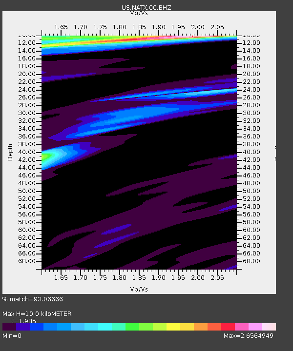
NATX Nacogdoches, Texas, USA - Earthquake Result Viewer

Earthquake location: Near Coast Of Northern Peru
Earthquake latitude/longitude: -5.4/-81.9
Earthquake time(UTC): 2013/08/12 (224) 09:49:32 GMT
Earthquake Depth: 10 km
Earthquake Magnitude: 6.2 MWW, 6.1 MWB, 6.2 MWW, 6.2 MWC, 6.3 MWC
Earthquake Catalog/Contributor: NEIC PDE/NEIC COMCAT
Network: US United States National Seismic Network
Station: NATX Nacogdoches, Texas, USA
Lat/Lon: 31.76 N/94.66 W
Elevation: 156 m
Distance: 38.9 deg
Az: 342.599 deg
Baz: 159.541 deg
Ray Param: 0.07529905
Estimated Moho Depth: 10.0 km
Estimated Crust Vp/Vs: 1.99
Assumed Crust Vp: 5.738 km/s
Estimated Crust Vs: 2.891 km/s
Estimated Crust Poisson's Ratio: 0.33
Radial Match: 93.06666 %
Radial Bump: 300
Transverse Match: 71.291435 %
Transverse Bump: 400
SOD ConfigId: 626651
Insert Time: 2014-04-17 23:40:30.328 +0000
GWidth: 2.5
Max Bumps: 400
Tol: 0.001

Signal To Noise

ChannelStoNSTALTA
US:NATX:00:BHZ:20130812T09:56:27.09999Z15.6326162.435821E-61.558166E-7
US:NATX:00:BH1:20130812T09:56:27.09999Z2.38353631.1078687E-64.648004E-7
US:NATX:00:BH2:20130812T09:56:27.09999Z1.0216414.3547962E-74.2625504E-7
Arrivals
Ps1.8 SECOND
PpPs4.9 SECOND
PsPs/PpSs6.8 SECOND