ATKO ATIKOKAN IRON MINE, ON - Earthquake Result Viewer
Earthquake location: Near Coast Of Guerrero, Mexico
Earthquake latitude/longitude: 16.9/-99.5
Earthquake time(UTC): 2013/08/21 (233) 12:38:29 GMT
Earthquake Depth: 21 km
Earthquake Magnitude: 6.2 MWW, 6.2 MWW, 6.2 MWB, 6.2 MWC
Earthquake Catalog/Contributor: NEIC PDE/NEIC COMCAT
Network: CN Canadian National Seismograph Network
Station: ATKO ATIKOKAN IRON MINE, ON
Lat/Lon: 48.82 N/91.60 W
Elevation: 383 m
Distance: 32.5 deg
Az: 9.729 deg
Baz: 194.171 deg
Ray Param: 0.07860077
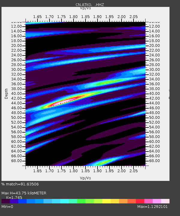
Estimated Moho Depth: 43.75 km
Estimated Crust Vp/Vs: 1.75
Assumed Crust Vp: 6.467 km/s
Estimated Crust Vs: 3.706 km/s
Estimated Crust Poisson's Ratio: 0.26
Radial Match: 91.63506 %
Radial Bump: 329
Transverse Match: 58.934387 %
Transverse Bump: 400
SOD ConfigId: 626651
Insert Time: 2014-04-18 01:52:09.989 +0000
GWidth: 2.5
Max Bumps: 400
Tol: 0.001

Signal To Noise

ChannelStoNSTALTA
CN:ATKO: :HHZ:20130821T12:44:28.249988Z7.64603763.2443126E-74.2431292E-8
CN:ATKO: :HHN:20130821T12:44:28.249988Z5.89035462.2295522E-73.78509E-8
CN:ATKO: :HHE:20130821T12:44:28.249988Z3.63060148.282484E-82.281298E-8
Arrivals
Ps5.5 SECOND
PpPs17 SECOND
PsPs/PpSs23 SECOND