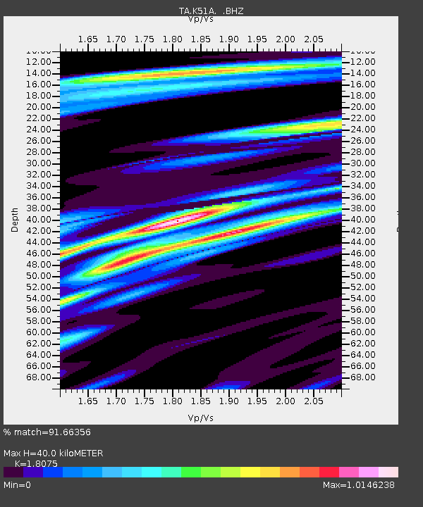
K51A Iona Station, ON, CAN - Earthquake Result Viewer

Earthquake location: Near Coast Of Guerrero, Mexico
Earthquake latitude/longitude: 16.9/-99.5
Earthquake time(UTC): 2013/08/21 (233) 12:38:29 GMT
Earthquake Depth: 21 km
Earthquake Magnitude: 6.2 MWW, 6.2 MWW, 6.2 MWB, 6.2 MWC
Earthquake Catalog/Contributor: NEIC PDE/NEIC COMCAT
Network: TA USArray Transportable Network (new EarthScope stations)
Station: K51A Iona Station, ON, CAN
Lat/Lon: 42.72 N/81.51 W
Elevation: 217 m
Distance: 30.0 deg
Az: 27.089 deg
Baz: 216.274 deg
Ray Param: 0.07943675
Estimated Moho Depth: 40.0 km
Estimated Crust Vp/Vs: 1.81
Assumed Crust Vp: 6.53 km/s
Estimated Crust Vs: 3.613 km/s
Estimated Crust Poisson's Ratio: 0.28
Radial Match: 91.66356 %
Radial Bump: 303
Transverse Match: 65.79394 %
Transverse Bump: 400
SOD ConfigId: 626651
Insert Time: 2014-04-18 02:10:27.150 +0000
GWidth: 2.5
Max Bumps: 400
Tol: 0.001

Signal To Noise

ChannelStoNSTALTA
TA:K51A: :BHZ:20130821T12:44:06.124988Z5.89187341.2162723E-62.0643218E-7
TA:K51A: :BHN:20130821T12:44:06.124988Z2.88924317.7378166E-72.6781464E-7
TA:K51A: :BHE:20130821T12:44:06.124988Z1.54488875.579821E-73.6117947E-7
Arrivals
Ps5.4 SECOND
PpPs16 SECOND
PsPs/PpSs21 SECOND