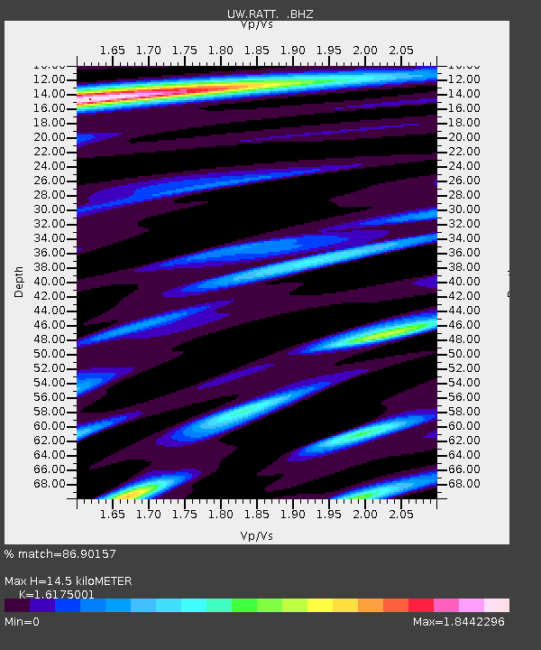
RATT Rattlesnake Lake, WA - Earthquake Result Viewer

Earthquake location: Near Coast Of Guerrero, Mexico
Earthquake latitude/longitude: 16.9/-99.5
Earthquake time(UTC): 2013/08/21 (233) 12:38:29 GMT
Earthquake Depth: 21 km
Earthquake Magnitude: 6.2 MWW, 6.2 MWW, 6.2 MWB, 6.2 MWC
Earthquake Catalog/Contributor: NEIC PDE/NEIC COMCAT
Network: UW Pacific Northwest Regional Seismic Network
Station: RATT Rattlesnake Lake, WA
Lat/Lon: 47.43 N/121.80 W
Elevation: 440 m
Distance: 35.6 deg
Az: 333.709 deg
Baz: 141.349 deg
Ray Param: 0.07712081
Estimated Moho Depth: 14.5 km
Estimated Crust Vp/Vs: 1.62
Assumed Crust Vp: 6.597 km/s
Estimated Crust Vs: 4.079 km/s
Estimated Crust Poisson's Ratio: 0.19
Radial Match: 86.90157 %
Radial Bump: 400
Transverse Match: 77.61336 %
Transverse Bump: 400
SOD ConfigId: 626651
Insert Time: 2014-04-18 02:15:04.473 +0000
GWidth: 2.5
Max Bumps: 400
Tol: 0.001

Signal To Noise

ChannelStoNSTALTA
UW:RATT: :BHZ:20130821T12:44:54.840015Z23.5135361.437364E-66.1129214E-8
UW:RATT: :BHN:20130821T12:44:54.840015Z6.81192873.8187363E-75.6059548E-8
UW:RATT: :BHE:20130821T12:44:54.840015Z6.4917846.579677E-71.0135391E-7
Arrivals
Ps1.5 SECOND
PpPs5.3 SECOND
PsPs/PpSs6.7 SECOND