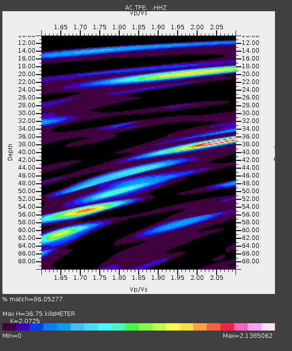
TPE Tepelene, Albania - Earthquake Result Viewer

Earthquake location: Andreanof Islands, Aleutian Is.
Earthquake latitude/longitude: 51.5/-175.2
Earthquake time(UTC): 2013/08/30 (242) 16:25:02 GMT
Earthquake Depth: 29 km
Earthquake Magnitude: 7.0 MWW, 6.5 ML, 6.8 MI, 6.9 MWC, 6.9 MWB, 7.0 MWW, 7.0 MI, 7.0 MWC
Earthquake Catalog/Contributor: NEIC PDE/NEIC COMCAT
Network: AC Albanian Seismological Network
Station: TPE Tepelene, Albania
Lat/Lon: 40.29 N/20.01 E
Elevation: 273 m
Distance: 87.6 deg
Az: 348.392 deg
Baz: 9.457 deg
Ray Param: 0.043187343
Estimated Moho Depth: 36.75 km
Estimated Crust Vp/Vs: 2.07
Assumed Crust Vp: 6.291 km/s
Estimated Crust Vs: 3.036 km/s
Estimated Crust Poisson's Ratio: 0.35
Radial Match: 86.05277 %
Radial Bump: 400
Transverse Match: 73.81318 %
Transverse Bump: 400
SOD ConfigId: 626651
Insert Time: 2014-04-18 04:50:26.657 +0000
GWidth: 2.5
Max Bumps: 400
Tol: 0.001

Signal To Noise

ChannelStoNSTALTA
AC:TPE: :HHZ:20130830T16:37:16.260022Z8.0204681.1056986E-61.3785962E-7
AC:TPE: :HHN:20130830T16:37:16.260022Z1.29282992.3582886E-71.8241292E-7
AC:TPE: :HHE:20130830T16:37:16.260022Z0.884493231.897421E-72.145207E-7
Arrivals
Ps6.4 SECOND
PpPs18 SECOND
PsPs/PpSs24 SECOND