E51A G1948 Merrick Township, ON, CAN - Earthquake Result Viewer
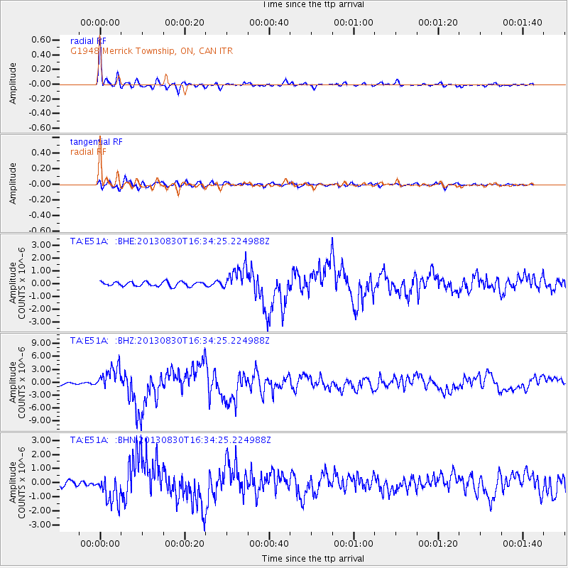
Earthquake location: Andreanof Islands, Aleutian Is.
Earthquake latitude/longitude: 51.5/-175.2
Earthquake time(UTC): 2013/08/30 (242) 16:25:02 GMT
Earthquake Depth: 29 km
Earthquake Magnitude: 7.0 MWW, 6.5 ML, 6.8 MI, 6.9 MWC, 6.9 MWB, 7.0 MWW, 7.0 MI, 7.0 MWC
Earthquake Catalog/Contributor: NEIC PDE/NEIC COMCAT
Network: TA USArray Transportable Network (new EarthScope stations)
Station: E51A G1948 Merrick Township, ON, CAN
Lat/Lon: 46.53 N/79.49 W
Elevation: 369 m
Distance: 58.5 deg
Az: 53.637 deg
Baz: 313.237 deg
Ray Param: 0.06273095
Estimated Moho Depth: 36.5 km
Estimated Crust Vp/Vs: 1.74
Assumed Crust Vp: 6.622 km/s
Estimated Crust Vs: 3.8 km/s
Estimated Crust Poisson's Ratio: 0.25
Radial Match: 95.7446 %
Radial Bump: 364
Transverse Match: 73.39805 %
Transverse Bump: 400
SOD ConfigId: 626651
Insert Time: 2014-04-18 05:17:52.815 +0000
GWidth: 2.5
Max Bumps: 400
Tol: 0.001

Signal To Noise

ChannelStoNSTALTA
TA:E51A: :BHZ:20130830T16:34:25.224988Z11.8131722.7826716E-62.3555667E-7
TA:E51A: :BHN:20130830T16:34:25.224988Z4.3787061.0129496E-62.3133539E-7
TA:E51A: :BHE:20130830T16:34:25.224988Z5.7595489.734032E-71.6900687E-7
Arrivals
Ps4.3 SECOND
PpPs14 SECOND
PsPs/PpSs19 SECOND