N50A Nevada, OH, USA - Earthquake Result Viewer
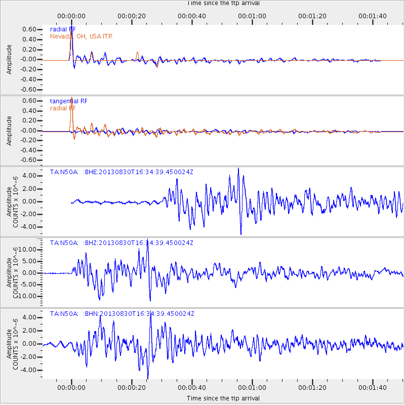
Earthquake location: Andreanof Islands, Aleutian Is.
Earthquake latitude/longitude: 51.5/-175.2
Earthquake time(UTC): 2013/08/30 (242) 16:25:02 GMT
Earthquake Depth: 29 km
Earthquake Magnitude: 7.0 MWW, 6.5 ML, 6.8 MI, 6.9 MWC, 6.9 MWB, 7.0 MWW, 7.0 MI, 7.0 MWC
Earthquake Catalog/Contributor: NEIC PDE/NEIC COMCAT
Network: TA USArray Transportable Network (new EarthScope stations)
Station: N50A Nevada, OH, USA
Lat/Lon: 40.77 N/83.15 W
Elevation: 277 m
Distance: 60.6 deg
Az: 60.59 deg
Baz: 314.244 deg
Ray Param: 0.06137506
Estimated Moho Depth: 15.0 km
Estimated Crust Vp/Vs: 2.08
Assumed Crust Vp: 6.498 km/s
Estimated Crust Vs: 3.124 km/s
Estimated Crust Poisson's Ratio: 0.35
Radial Match: 97.82779 %
Radial Bump: 288
Transverse Match: 87.357475 %
Transverse Bump: 400
SOD ConfigId: 626651
Insert Time: 2014-04-18 05:23:33.880 +0000
GWidth: 2.5
Max Bumps: 400
Tol: 0.001

Signal To Noise

ChannelStoNSTALTA
TA:N50A: :BHZ:20130830T16:34:39.450024Z27.0272563.0996098E-61.14684596E-7
TA:N50A: :BHN:20130830T16:34:39.450024Z5.5763339.1050066E-71.6327947E-7
TA:N50A: :BHE:20130830T16:34:39.450024Z7.75769049.728308E-71.2540211E-7
Arrivals
Ps2.6 SECOND
PpPs6.8 SECOND
PsPs/PpSs9.4 SECOND