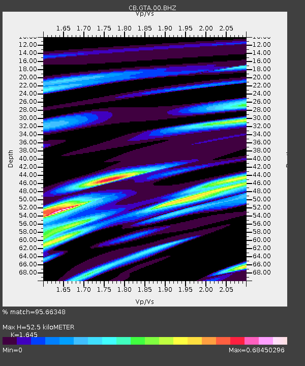
GTA Gaotai,Gansu Province - Earthquake Result Viewer

Earthquake location: Banda Sea
Earthquake latitude/longitude: -7.4/128.2
Earthquake time(UTC): 2013/09/01 (244) 11:52:29 GMT
Earthquake Depth: 112 km
Earthquake Magnitude: 6.5 MWW, 6.4 MWC, 6.4 MWD, 6.5 MWW, 6.5 MWB, 6.5 MWC
Earthquake Catalog/Contributor: NEIC PDE/NEIC COMCAT
Network: CB China National Seismic Network
Station: GTA Gaotai,Gansu Province
Lat/Lon: 39.40 N/99.82 E
Elevation: 1345 m
Distance: 53.5 deg
Az: 332.716 deg
Baz: 144.077 deg
Ray Param: 0.065681726
Estimated Moho Depth: 52.5 km
Estimated Crust Vp/Vs: 1.64
Assumed Crust Vp: 6.491 km/s
Estimated Crust Vs: 3.946 km/s
Estimated Crust Poisson's Ratio: 0.21
Radial Match: 95.66348 %
Radial Bump: 364
Transverse Match: 83.48473 %
Transverse Bump: 400
SOD ConfigId: 626651
Insert Time: 2014-04-18 07:17:40.980 +0000
GWidth: 2.5
Max Bumps: 400
Tol: 0.001

Signal To Noise

ChannelStoNSTALTA
CB:GTA:00:BHZ:20130901T12:01:08.349983Z54.480281.9548168E-63.5881182E-8
CB:GTA:00:BHN:20130901T12:01:08.349983Z32.4897737.693999E-72.3681295E-8
CB:GTA:00:BHE:20130901T12:01:08.349983Z33.0108345.9443477E-71.8007263E-8
Arrivals
Ps5.5 SECOND
PpPs20 SECOND
PsPs/PpSs26 SECOND