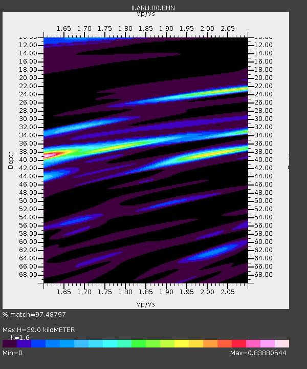
ARU Arti, Russia - Earthquake Result Viewer

Earthquake location: Southern Sumatra, Indonesia
Earthquake latitude/longitude: -4.7/102.1
Earthquake time(UTC): 2000/06/04 (156) 16:28:26 GMT
Earthquake Depth: 33 km
Earthquake Magnitude: 6.8 MB, 8.0 MS, 7.9 MW, 7.7 MW
Earthquake Catalog/Contributor: WHDF/NEIC
Network: II Global Seismograph Network (GSN - IRIS/IDA)
Station: ARU Arti, Russia
Lat/Lon: 56.43 N/58.56 E
Elevation: 250 m
Distance: 70.5 deg
Az: 336.058 deg
Baz: 133.278 deg
Ray Param: 0.054878574
Estimated Moho Depth: 39.0 km
Estimated Crust Vp/Vs: 1.60
Assumed Crust Vp: 6.159 km/s
Estimated Crust Vs: 3.849 km/s
Estimated Crust Poisson's Ratio: 0.18
Radial Match: 97.48797 %
Radial Bump: 346
Transverse Match: 89.92665 %
Transverse Bump: 400
SOD ConfigId: 3744
Insert Time: 2010-03-01 16:26:38.176 +0000
GWidth: 2.5
Max Bumps: 400
Tol: 0.001

Signal To Noise

ChannelStoNSTALTA
II:ARU:00:BHN:20000604T16:39:06.768999Z2.9252375.549469E-71.8971006E-7
II:ARU:00:BHE:20000604T16:39:06.768999Z5.02528055.15434E-71.02568215E-7
II:ARU:00:BHZ:20000604T16:39:06.768999Z4.6764681.6422591E-63.5117512E-7
Arrivals
Ps3.9 SECOND
PpPs16 SECOND
PsPs/PpSs20 SECOND