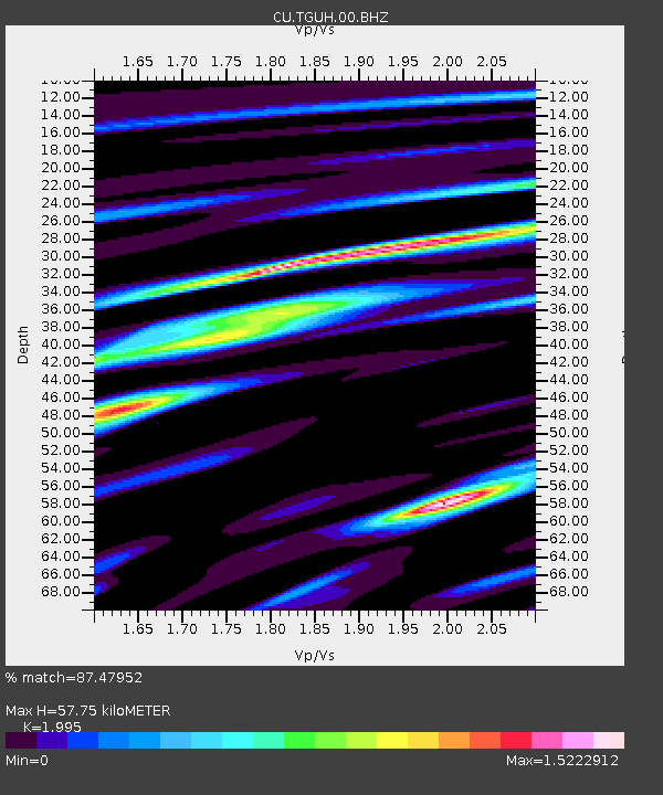
TGUH Tegucigalpa, Honduras - Earthquake Result Viewer

Earthquake location: Queen Charlotte Islands Region
Earthquake latitude/longitude: 51.2/-130.4
Earthquake time(UTC): 2013/09/03 (246) 20:19:06 GMT
Earthquake Depth: 2.7 km
Earthquake Magnitude: 6.1 MWW, 6.0 MWB, 6.1 MWW, 6.1 MWC, 6.2 MI, 6.2 MWC
Earthquake Catalog/Contributor: NEIC PDE/NEIC COMCAT
Network: CU Caribbean Network (USGS)
Station: TGUH Tegucigalpa, Honduras
Lat/Lon: 14.06 N/87.27 W
Elevation: 0.0 m
Distance: 50.7 deg
Az: 121.037 deg
Baz: 326.291 deg
Ray Param: 0.06787639
Estimated Moho Depth: 57.75 km
Estimated Crust Vp/Vs: 2.00
Assumed Crust Vp: 6.597 km/s
Estimated Crust Vs: 3.307 km/s
Estimated Crust Poisson's Ratio: 0.33
Radial Match: 87.47952 %
Radial Bump: 400
Transverse Match: 81.63898 %
Transverse Bump: 400
SOD ConfigId: 626651
Insert Time: 2014-04-18 08:29:00.542 +0000
GWidth: 2.5
Max Bumps: 400
Tol: 0.001

Signal To Noise

ChannelStoNSTALTA
CU:TGUH:00:BHZ:20130903T20:27:36.424015Z10.0957779.741739E-79.649321E-8
CU:TGUH:00:BH1:20130903T20:27:36.424015Z3.81632163.4264886E-78.978511E-8
CU:TGUH:00:BH2:20130903T20:27:36.424015Z3.21911572.907325E-79.0314394E-8
Arrivals
Ps9.2 SECOND
PpPs25 SECOND
PsPs/PpSs34 SECOND