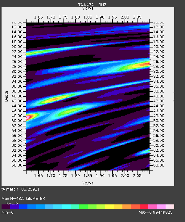
K47A Vremontville, MI, USA - Earthquake Result Viewer

Earthquake location: Queen Charlotte Islands Region
Earthquake latitude/longitude: 51.2/-130.4
Earthquake time(UTC): 2013/09/03 (246) 20:19:06 GMT
Earthquake Depth: 2.7 km
Earthquake Magnitude: 6.1 MWW, 6.0 MWB, 6.1 MWW, 6.1 MWC, 6.2 MI, 6.2 MWC
Earthquake Catalog/Contributor: NEIC PDE/NEIC COMCAT
Network: TA USArray Transportable Network (new EarthScope stations)
Station: K47A Vremontville, MI, USA
Lat/Lon: 42.67 N/85.00 W
Elevation: 275 m
Distance: 31.7 deg
Az: 87.635 deg
Baz: 301.622 deg
Ray Param: 0.07897724
Estimated Moho Depth: 48.5 km
Estimated Crust Vp/Vs: 1.60
Assumed Crust Vp: 6.483 km/s
Estimated Crust Vs: 4.052 km/s
Estimated Crust Poisson's Ratio: 0.18
Radial Match: 85.25911 %
Radial Bump: 353
Transverse Match: 66.878456 %
Transverse Bump: 400
SOD ConfigId: 626651
Insert Time: 2014-04-18 08:41:42.434 +0000
GWidth: 2.5
Max Bumps: 400
Tol: 0.001

Signal To Noise

ChannelStoNSTALTA
TA:K47A: :BHZ:20130903T20:25:00.524998Z3.5002536.567998E-71.8764352E-7
TA:K47A: :BHN:20130903T20:25:00.524998Z1.26028693.2048692E-72.542968E-7
TA:K47A: :BHE:20130903T20:25:00.524998Z1.36474563.114351E-72.2820011E-7
Arrivals
Ps4.9 SECOND
PpPs18 SECOND
PsPs/PpSs23 SECOND