Q60A Greensboro, MD, USA - Earthquake Result Viewer
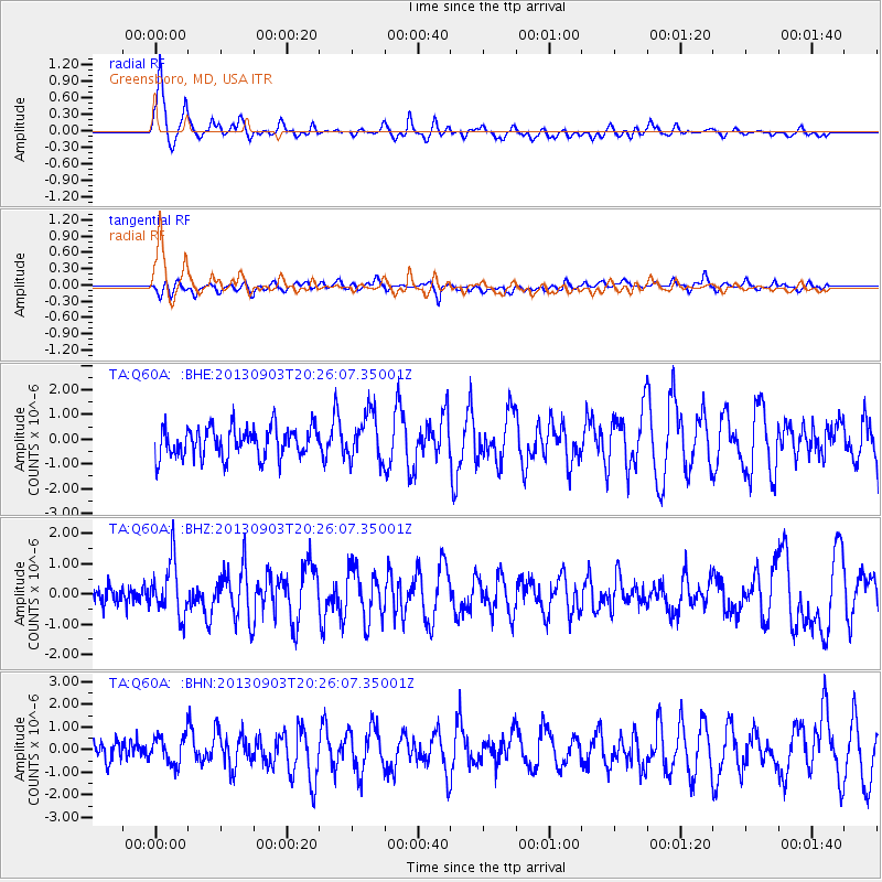
Earthquake location: Queen Charlotte Islands Region
Earthquake latitude/longitude: 51.2/-130.4
Earthquake time(UTC): 2013/09/03 (246) 20:19:06 GMT
Earthquake Depth: 2.7 km
Earthquake Magnitude: 6.1 MWW, 6.0 MWB, 6.1 MWW, 6.1 MWC, 6.2 MI, 6.2 MWC
Earthquake Catalog/Contributor: NEIC PDE/NEIC COMCAT
Network: TA USArray Transportable Network (new EarthScope stations)
Station: Q60A Greensboro, MD, USA
Lat/Lon: 39.00 N/75.84 W
Elevation: 14 m
Distance: 39.5 deg
Az: 86.168 deg
Baz: 306.401 deg
Ray Param: 0.07496153
Estimated Moho Depth: 30.0 km
Estimated Crust Vp/Vs: 1.92
Assumed Crust Vp: 6.287 km/s
Estimated Crust Vs: 3.266 km/s
Estimated Crust Poisson's Ratio: 0.32
Radial Match: 86.006714 %
Radial Bump: 339
Transverse Match: 60.58537 %
Transverse Bump: 400
SOD ConfigId: 626651
Insert Time: 2014-04-18 08:45:12.600 +0000
GWidth: 2.5
Max Bumps: 400
Tol: 0.001

Signal To Noise

ChannelStoNSTALTA
TA:Q60A: :BHZ:20130903T20:26:07.35001Z2.66368.9241365E-73.3504043E-7
TA:Q60A: :BHN:20130903T20:26:07.35001Z0.975788836.4318476E-76.5914344E-7
TA:Q60A: :BHE:20130903T20:26:07.35001Z1.54658099.541909E-76.1696795E-7
Arrivals
Ps4.7 SECOND
PpPs13 SECOND
PsPs/PpSs18 SECOND