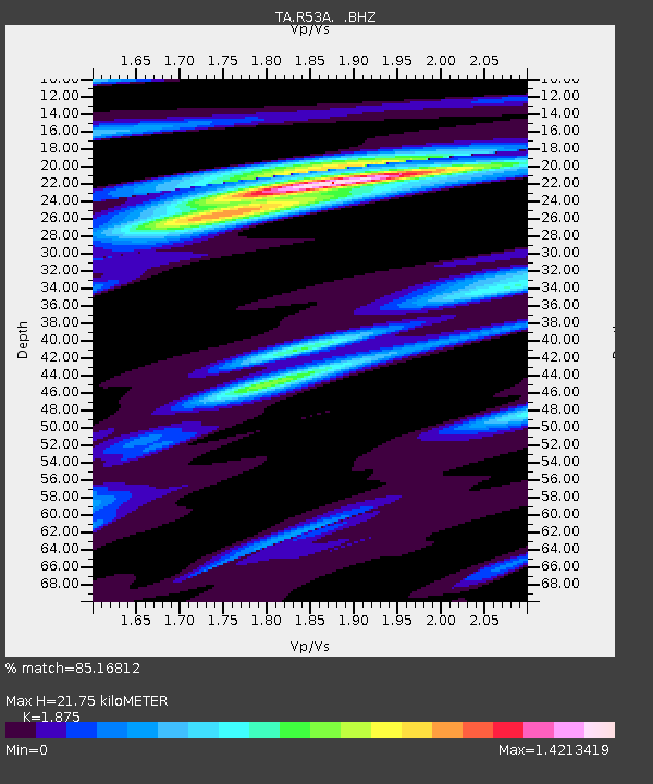
R53A Hurricane, WV, USA - Earthquake Result Viewer

Earthquake location: Queen Charlotte Islands Region
Earthquake latitude/longitude: 51.2/-130.4
Earthquake time(UTC): 2013/09/03 (246) 20:19:06 GMT
Earthquake Depth: 2.7 km
Earthquake Magnitude: 6.1 MWW, 6.0 MWB, 6.1 MWW, 6.1 MWC, 6.2 MI, 6.2 MWC
Earthquake Catalog/Contributor: NEIC PDE/NEIC COMCAT
Network: TA USArray Transportable Network (new EarthScope stations)
Station: R53A Hurricane, WV, USA
Lat/Lon: 38.33 N/81.95 W
Elevation: 294 m
Distance: 36.1 deg
Az: 91.706 deg
Baz: 306.978 deg
Ray Param: 0.07689812
Estimated Moho Depth: 21.75 km
Estimated Crust Vp/Vs: 1.88
Assumed Crust Vp: 6.207 km/s
Estimated Crust Vs: 3.31 km/s
Estimated Crust Poisson's Ratio: 0.30
Radial Match: 85.16812 %
Radial Bump: 343
Transverse Match: 38.025566 %
Transverse Bump: 400
SOD ConfigId: 626651
Insert Time: 2014-04-18 08:45:22.845 +0000
GWidth: 2.5
Max Bumps: 400
Tol: 0.001

Signal To Noise

ChannelStoNSTALTA
TA:R53A: :BHZ:20130903T20:25:38.35001Z2.07874564.7424987E-72.2814234E-7
TA:R53A: :BHN:20130903T20:25:38.35001Z2.75869873.4557752E-71.252683E-7
TA:R53A: :BHE:20130903T20:25:38.35001Z1.91160263.083869E-71.6132374E-7
Arrivals
Ps3.3 SECOND
PpPs9.4 SECOND
PsPs/PpSs13 SECOND