CD2 Chengdou,Sichuan Province - Earthquake Result Viewer
Earthquake location: Southeast Of Honshu, Japan
Earthquake latitude/longitude: 29.9/138.8
Earthquake time(UTC): 2013/09/04 (247) 00:18:23 GMT
Earthquake Depth: 402 km
Earthquake Magnitude: 6.5 MWW, 6.5 MWW, 6.5 MWB, 6.5 MWC
Earthquake Catalog/Contributor: NEIC PDE/NEIC COMCAT
Network: CB China National Seismic Network
Station: CD2 Chengdou,Sichuan Province
Lat/Lon: 30.91 N/103.76 E
Elevation: 653 m
Distance: 30.2 deg
Az: 280.822 deg
Baz: 82.727 deg
Ray Param: 0.078171976
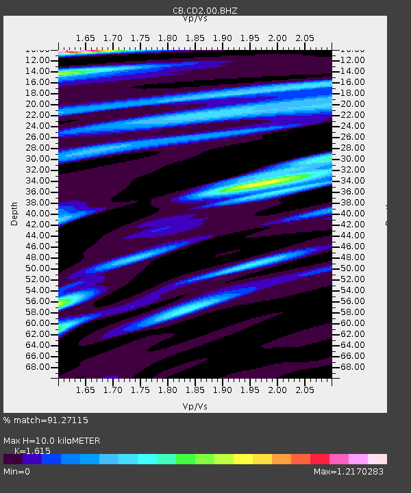
Estimated Moho Depth: 10.0 km
Estimated Crust Vp/Vs: 1.62
Assumed Crust Vp: 6.159 km/s
Estimated Crust Vs: 3.813 km/s
Estimated Crust Poisson's Ratio: 0.19
Radial Match: 91.27115 %
Radial Bump: 339
Transverse Match: 68.62271 %
Transverse Bump: 400
SOD ConfigId: 626651
Insert Time: 2014-04-18 09:11:15.264 +0000
GWidth: 2.5
Max Bumps: 400
Tol: 0.001

Signal To Noise

ChannelStoNSTALTA
CB:CD2:00:BHZ:20130904T00:23:28.239995Z71.7441941.6655264E-52.321479E-7
CB:CD2:00:BHN:20130904T00:23:28.239995Z15.153482.4760493E-61.6339807E-7
CB:CD2:00:BHE:20130904T00:23:28.239995Z49.833485.855141E-61.1749412E-7
Arrivals
Ps1.1 SECOND
PpPs3.9 SECOND
PsPs/PpSs5.0 SECOND