MTDJ Mount Denham, Jamaica - Earthquake Result Viewer
Earthquake location: Queen Charlotte Islands Region
Earthquake latitude/longitude: 51.2/-130.2
Earthquake time(UTC): 2013/09/04 (247) 00:23:11 GMT
Earthquake Depth: 9.9 km
Earthquake Magnitude: 6.0 MW, 5.9 MI, 5.9 MWR, 6.0 MWW, 6.0 MWW, 6.0 MWC
Earthquake Catalog/Contributor: NEIC PDE/NEIC COMCAT
Network: CU Caribbean Network (USGS)
Station: MTDJ Mount Denham, Jamaica
Lat/Lon: 18.23 N/77.53 W
Elevation: 925 m
Distance: 52.8 deg
Az: 108.437 deg
Baz: 321.082 deg
Ray Param: 0.06650716
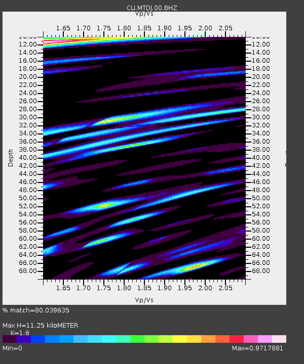
Estimated Moho Depth: 11.25 km
Estimated Crust Vp/Vs: 1.60
Assumed Crust Vp: 4.662 km/s
Estimated Crust Vs: 2.914 km/s
Estimated Crust Poisson's Ratio: 0.18
Radial Match: 80.039635 %
Radial Bump: 400
Transverse Match: 63.029995 %
Transverse Bump: 400
SOD ConfigId: 626651
Insert Time: 2014-04-18 09:30:38.836 +0000
GWidth: 2.5
Max Bumps: 400
Tol: 0.001

Signal To Noise

ChannelStoNSTALTA
CU:MTDJ:00:BHZ:20130904T00:31:55.849021Z2.92170525.018967E-71.717821E-7
CU:MTDJ:00:BH1:20130904T00:31:55.849021Z0.92168092.1216994E-72.3019892E-7
CU:MTDJ:00:BH2:20130904T00:31:55.849021Z1.07036592.0361189E-71.9022644E-7
Arrivals
Ps1.5 SECOND
PpPs6.1 SECOND
PsPs/PpSs7.6 SECOND