I47A Gladwin, MI, USA - Earthquake Result Viewer
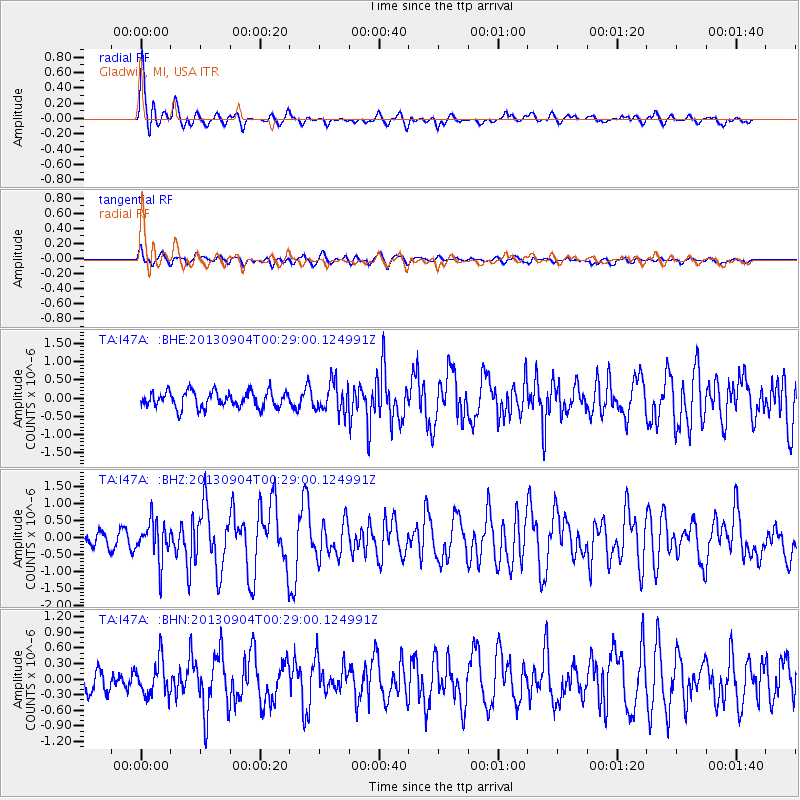
Earthquake location: Queen Charlotte Islands Region
Earthquake latitude/longitude: 51.2/-130.2
Earthquake time(UTC): 2013/09/04 (247) 00:23:11 GMT
Earthquake Depth: 9.9 km
Earthquake Magnitude: 6.0 MW, 5.9 MI, 5.9 MWR, 6.0 MWW, 6.0 MWW, 6.0 MWC
Earthquake Catalog/Contributor: NEIC PDE/NEIC COMCAT
Network: TA USArray Transportable Network (new EarthScope stations)
Station: I47A Gladwin, MI, USA
Lat/Lon: 44.02 N/84.51 W
Elevation: 269 m
Distance: 31.2 deg
Az: 85.087 deg
Baz: 299.634 deg
Ray Param: 0.07912613
Estimated Moho Depth: 13.75 km
Estimated Crust Vp/Vs: 1.87
Assumed Crust Vp: 6.483 km/s
Estimated Crust Vs: 3.476 km/s
Estimated Crust Poisson's Ratio: 0.30
Radial Match: 82.782364 %
Radial Bump: 400
Transverse Match: 56.576214 %
Transverse Bump: 400
SOD ConfigId: 626651
Insert Time: 2014-04-18 09:40:04.065 +0000
GWidth: 2.5
Max Bumps: 400
Tol: 0.001

Signal To Noise

ChannelStoNSTALTA
TA:I47A: :BHZ:20130904T00:29:00.124991Z2.0607925.7543804E-72.7923147E-7
TA:I47A: :BHN:20130904T00:29:00.124991Z1.0466563.3488334E-73.1995546E-7
TA:I47A: :BHE:20130904T00:29:00.124991Z1.83367344.0437263E-72.2052599E-7
Arrivals
Ps2.0 SECOND
PpPs5.6 SECOND
PsPs/PpSs7.6 SECOND