W59A Clinton, NC, USA - Earthquake Result Viewer
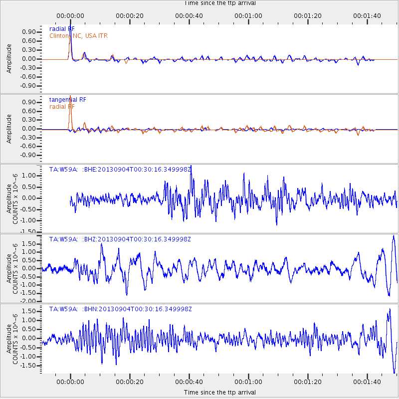
Earthquake location: Queen Charlotte Islands Region
Earthquake latitude/longitude: 51.2/-130.2
Earthquake time(UTC): 2013/09/04 (247) 00:23:11 GMT
Earthquake Depth: 9.9 km
Earthquake Magnitude: 6.0 MW, 5.9 MI, 5.9 MWR, 6.0 MWW, 6.0 MWW, 6.0 MWC
Earthquake Catalog/Contributor: NEIC PDE/NEIC COMCAT
Network: TA USArray Transportable Network (new EarthScope stations)
Station: W59A Clinton, NC, USA
Lat/Lon: 35.17 N/78.44 W
Elevation: 60 m
Distance: 40.1 deg
Az: 92.935 deg
Baz: 309.897 deg
Ray Param: 0.07456975
Estimated Moho Depth: 53.25 km
Estimated Crust Vp/Vs: 1.60
Assumed Crust Vp: 6.565 km/s
Estimated Crust Vs: 4.103 km/s
Estimated Crust Poisson's Ratio: 0.18
Radial Match: 83.02656 %
Radial Bump: 281
Transverse Match: 43.73682 %
Transverse Bump: 400
SOD ConfigId: 626651
Insert Time: 2014-04-18 09:44:33.991 +0000
GWidth: 2.5
Max Bumps: 400
Tol: 0.001

Signal To Noise

ChannelStoNSTALTA
TA:W59A: :BHZ:20130904T00:30:16.349998Z2.43825633.0780114E-71.2623823E-7
TA:W59A: :BHN:20130904T00:30:16.349998Z2.07165223.6472332E-71.7605431E-7
TA:W59A: :BHE:20130904T00:30:16.349998Z2.48938823.9585845E-71.5901837E-7
Arrivals
Ps5.3 SECOND
PpPs19 SECOND
PsPs/PpSs25 SECOND