ARU Arti, Russia - Earthquake Result Viewer
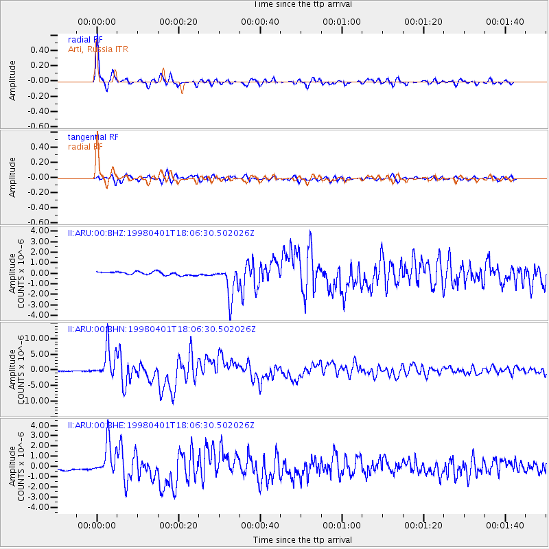
Earthquake location: Southern Sumatra, Indonesia
Earthquake latitude/longitude: -0.5/99.3
Earthquake time(UTC): 1998/04/01 (091) 17:56:23 GMT
Earthquake Depth: 56 km
Earthquake Magnitude: 6.2 MB, 6.9 MS, 7.0 UNKNOWN, 6.6 ME
Earthquake Catalog/Contributor: WHDF/NEIC
Network: II Global Seismograph Network (GSN - IRIS/IDA)
Station: ARU Arti, Russia
Lat/Lon: 56.43 N/58.56 E
Elevation: 250 m
Distance: 65.6 deg
Az: 336.558 deg
Baz: 134.269 deg
Ray Param: 0.058050033
Estimated Moho Depth: 39.0 km
Estimated Crust Vp/Vs: 1.62
Assumed Crust Vp: 6.159 km/s
Estimated Crust Vs: 3.813 km/s
Estimated Crust Poisson's Ratio: 0.19
Radial Match: 96.91628 %
Radial Bump: 400
Transverse Match: 83.67849 %
Transverse Bump: 400
SOD ConfigId: 4480
Insert Time: 2010-03-01 16:32:23.889 +0000
GWidth: 2.5
Max Bumps: 400
Tol: 0.001

Signal To Noise

ChannelStoNSTALTA
II:ARU:00:BHN:19980401T18:06:30.502026Z43.098515.1167794E-61.1872288E-7
II:ARU:00:BHE:19980401T18:06:30.502026Z8.7639491.692548E-61.9312617E-7
II:ARU:00:BHZ:19980401T18:06:30.502026Z10.7431471.6437303E-61.5300269E-7
Arrivals
Ps4.1 SECOND
PpPs16 SECOND
PsPs/PpSs20 SECOND