EMMW Machias, ME, USA - Earthquake Result Viewer
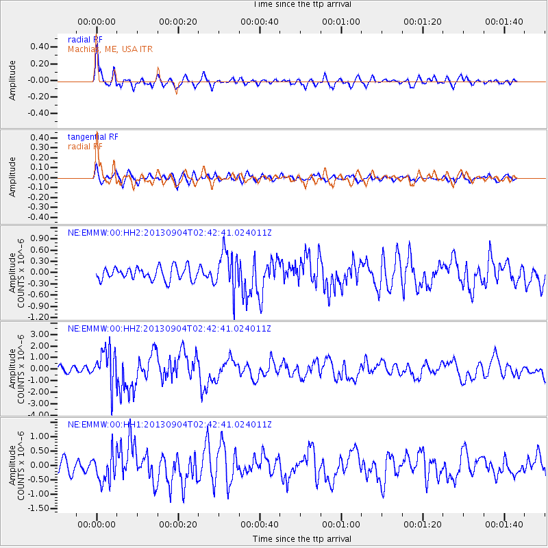
Earthquake location: Andreanof Islands, Aleutian Is.
Earthquake latitude/longitude: 51.6/-174.8
Earthquake time(UTC): 2013/09/04 (247) 02:32:30 GMT
Earthquake Depth: 20 km
Earthquake Magnitude: 6.5 MWW, 5.9 ML, 6.3 MWB, 6.5 MI, 6.5 MWC, 6.5 MWW
Earthquake Catalog/Contributor: NEIC PDE/NEIC COMCAT
Network: NE New England Seismic Network
Station: EMMW Machias, ME, USA
Lat/Lon: 44.71 N/67.46 W
Elevation: 35 m
Distance: 65.5 deg
Az: 48.446 deg
Baz: 319.067 deg
Ray Param: 0.058232393
Estimated Moho Depth: 37.5 km
Estimated Crust Vp/Vs: 1.71
Assumed Crust Vp: 6.419 km/s
Estimated Crust Vs: 3.759 km/s
Estimated Crust Poisson's Ratio: 0.24
Radial Match: 87.59449 %
Radial Bump: 400
Transverse Match: 50.094936 %
Transverse Bump: 400
SOD ConfigId: 626651
Insert Time: 2014-04-18 10:02:58.383 +0000
GWidth: 2.5
Max Bumps: 400
Tol: 0.001

Signal To Noise

ChannelStoNSTALTA
NE:EMMW:00:HHZ:20130904T02:42:41.024011Z5.86151461.5582924E-62.658515E-7
NE:EMMW:00:HH1:20130904T02:42:41.024011Z2.09914234.920389E-72.3439998E-7
NE:EMMW:00:HH2:20130904T02:42:41.024011Z3.12435485.2695384E-71.6866004E-7
Arrivals
Ps4.3 SECOND
PpPs15 SECOND
PsPs/PpSs19 SECOND