H04D Lebanon, OR, USA - Earthquake Result Viewer
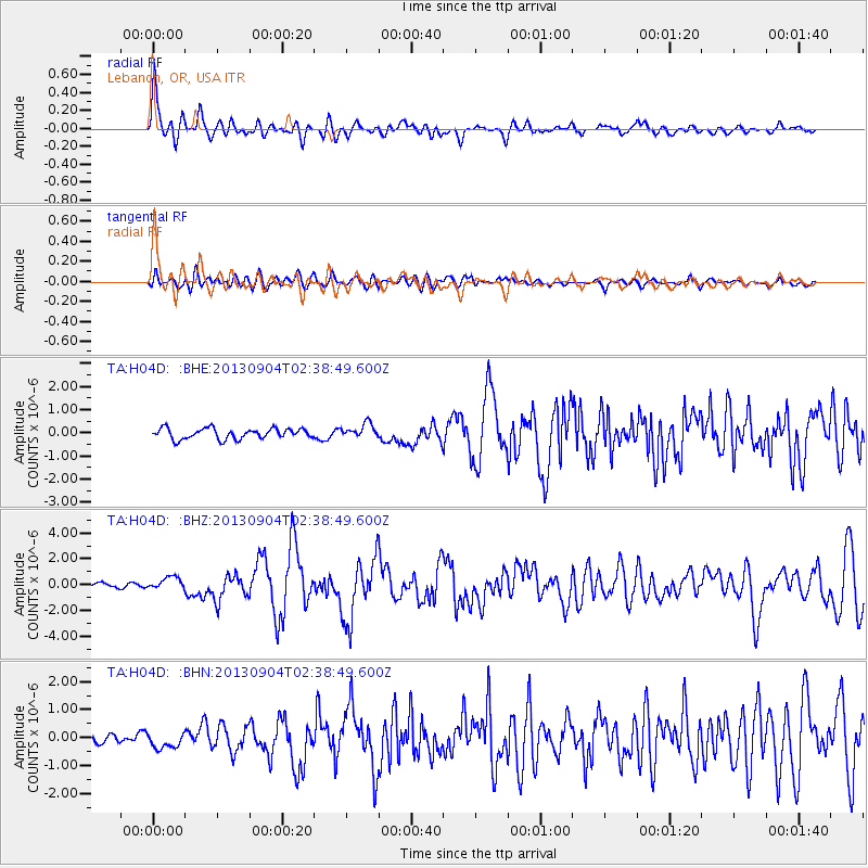
Earthquake location: Andreanof Islands, Aleutian Is.
Earthquake latitude/longitude: 51.6/-174.8
Earthquake time(UTC): 2013/09/04 (247) 02:32:30 GMT
Earthquake Depth: 20 km
Earthquake Magnitude: 6.5 MWW, 5.9 ML, 6.3 MWB, 6.5 MI, 6.5 MWC, 6.5 MWW
Earthquake Catalog/Contributor: NEIC PDE/NEIC COMCAT
Network: TA USArray Transportable Network (new EarthScope stations)
Station: H04D Lebanon, OR, USA
Lat/Lon: 44.52 N/122.74 W
Elevation: 284 m
Distance: 34.9 deg
Az: 80.689 deg
Baz: 300.542 deg
Ray Param: 0.07750513
Estimated Moho Depth: 43.25 km
Estimated Crust Vp/Vs: 2.07
Assumed Crust Vp: 6.566 km/s
Estimated Crust Vs: 3.176 km/s
Estimated Crust Poisson's Ratio: 0.35
Radial Match: 88.19004 %
Radial Bump: 400
Transverse Match: 62.55389 %
Transverse Bump: 400
SOD ConfigId: 626651
Insert Time: 2014-04-18 10:13:21.317 +0000
GWidth: 2.5
Max Bumps: 400
Tol: 0.001

Signal To Noise

ChannelStoNSTALTA
TA:H04D: :BHZ:20130904T02:38:49.600Z3.03130655.0238975E-71.6573374E-7
TA:H04D: :BHN:20130904T02:38:49.600Z1.71373282.930361E-71.7099286E-7
TA:H04D: :BHE:20130904T02:38:49.600Z1.35867623.0888606E-72.2734339E-7
Arrivals
Ps7.5 SECOND
PpPs19 SECOND
PsPs/PpSs26 SECOND