L42A Oliver, Polo, IL, USA - Earthquake Result Viewer
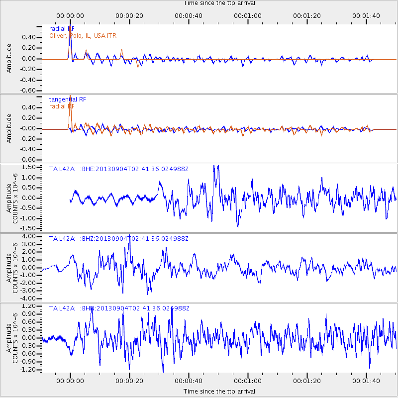
Earthquake location: Andreanof Islands, Aleutian Is.
Earthquake latitude/longitude: 51.6/-174.8
Earthquake time(UTC): 2013/09/04 (247) 02:32:30 GMT
Earthquake Depth: 20 km
Earthquake Magnitude: 6.5 MWW, 5.9 ML, 6.3 MWB, 6.5 MI, 6.5 MWC, 6.5 MWW
Earthquake Catalog/Contributor: NEIC PDE/NEIC COMCAT
Network: TA USArray Transportable Network (new EarthScope stations)
Station: L42A Oliver, Polo, IL, USA
Lat/Lon: 42.00 N/89.67 W
Elevation: 257 m
Distance: 55.9 deg
Az: 63.733 deg
Baz: 311.313 deg
Ray Param: 0.06446514
Estimated Moho Depth: 35.5 km
Estimated Crust Vp/Vs: 1.93
Assumed Crust Vp: 6.571 km/s
Estimated Crust Vs: 3.404 km/s
Estimated Crust Poisson's Ratio: 0.32
Radial Match: 88.70022 %
Radial Bump: 400
Transverse Match: 71.61831 %
Transverse Bump: 400
SOD ConfigId: 626651
Insert Time: 2014-04-18 10:15:49.529 +0000
GWidth: 2.5
Max Bumps: 400
Tol: 0.001

Signal To Noise

ChannelStoNSTALTA
TA:L42A: :BHZ:20130904T02:41:36.024988Z5.17878871.0913968E-62.1074364E-7
TA:L42A: :BHN:20130904T02:41:36.024988Z2.45142583.6245766E-71.4785586E-7
TA:L42A: :BHE:20130904T02:41:36.024988Z2.69048384.0883685E-71.5195663E-7
Arrivals
Ps5.3 SECOND
PpPs15 SECOND
PsPs/PpSs20 SECOND