CGRP Cima Grappa - Earthquake Result Viewer

*The percent match for this event was below the threshold and hence no stack was calculated.
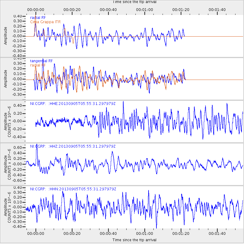
Earthquake location: Andreanof Islands, Aleutian Is.
Earthquake latitude/longitude: 51.5/-174.6
Earthquake time(UTC): 2013/09/05 (248) 05:43:39 GMT
Earthquake Depth: 20 km
Earthquake Magnitude: 5.6 MWW, 5.4 MI, 5.5 MWB, 5.6 MWW, 5.7 MWC, 5.7 ML, 5.8 MWC
Earthquake Catalog/Contributor: NEIC PDE/NEIC COMCAT
Network: NI North-East Italy Broadband Network
Station: CGRP Cima Grappa
Lat/Lon: 45.88 N/11.80 E
Elevation: 1757 m

*The percent match for this event was below the threshold and hence was not used in the summary stack.

Distance: 82.9 deg
Az: 355.508 deg
Baz: 4.022 deg
Ray Param: $rayparam
Radial Match: 53.17985 %
Radial Bump: 400
Transverse Match: 56.3069 %
Transverse Bump: 400
SOD ConfigId: 626651
Insert Time: 2014-04-18 13:16:23.329 +0000
GWidth: 2.5
Max Bumps: 400
Tol: 0.001

Signal To Noise

ChannelStoNSTALTA
NI:CGRP: :HHZ:20130905T05:55:31.297979Z3.95133612.6867124E-76.799504E-8
NI:CGRP: :HHN:20130905T05:55:31.297979Z1.76316641.1840617E-76.715542E-8
NI:CGRP: :HHE:20130905T05:55:31.297979Z2.0256661.178133E-75.816028E-8
Arrivals
Ps
PpPs
PsPs/PpSs