GARM Garm, Tajikistan - Earthquake Result Viewer
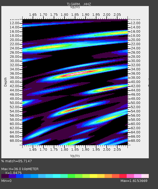
Earthquake location: Philippine Islands Region
Earthquake latitude/longitude: 20.2/122.3
Earthquake time(UTC): 2013/09/06 (249) 11:33:53 GMT
Earthquake Depth: 175 km
Earthquake Magnitude: 5.9 MWW, 5.9 MWW, 6.0 MWC, 6.0 MWB
Earthquake Catalog/Contributor: NEIC PDE/NEIC COMCAT
Network: TJ Tajikistan National Seismic Network
Station: GARM Garm, Tajikistan
Lat/Lon: 39.00 N/70.32 E
Elevation: 1305 m
Distance: 48.3 deg
Az: 304.647 deg
Baz: 97.339 deg
Ray Param: 0.06880946
Estimated Moho Depth: 36.0 km
Estimated Crust Vp/Vs: 1.85
Assumed Crust Vp: 6.306 km/s
Estimated Crust Vs: 3.413 km/s
Estimated Crust Poisson's Ratio: 0.29
Radial Match: 85.7147 %
Radial Bump: 390
Transverse Match: 85.229416 %
Transverse Bump: 397
SOD ConfigId: 626651
Insert Time: 2014-04-18 14:43:11.016 +0000
GWidth: 2.5
Max Bumps: 400
Tol: 0.001

Signal To Noise

ChannelStoNSTALTA
TJ:GARM: :HHZ:20130906T11:41:46.310009Z18.6279431.783091E-69.5721305E-8
TJ:GARM: :HHN:20130906T11:41:46.310009Z2.29783922.1759872E-79.469711E-8
TJ:GARM: :HHE:20130906T11:41:46.310009Z12.4822246.776639E-75.4290314E-8
Arrivals
Ps5.1 SECOND
PpPs15 SECOND
PsPs/PpSs21 SECOND