E60A Ste Agathe de Lotbiniere, QC, CAN - Earthquake Result Viewer
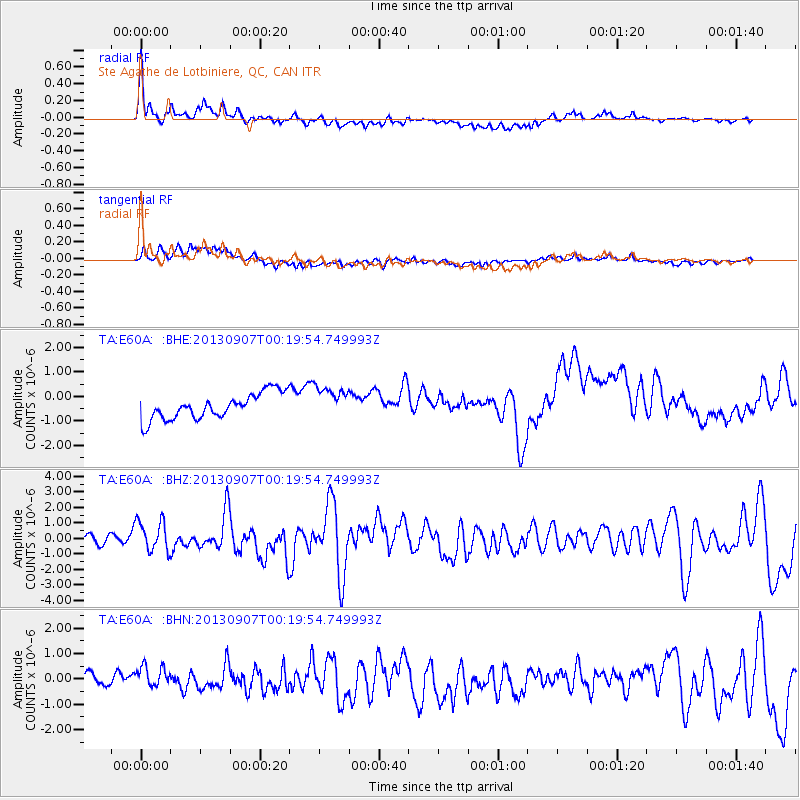
Earthquake location: Near Coast Of Chiapas, Mexico
Earthquake latitude/longitude: 14.6/-92.1
Earthquake time(UTC): 2013/09/07 (250) 00:13:29 GMT
Earthquake Depth: 66 km
Earthquake Magnitude: 6.4 MWW, 6.4 MWB, 6.4 MWC, 6.4 MWW, 6.5 MWC
Earthquake Catalog/Contributor: NEIC PDE/NEIC COMCAT
Network: TA USArray Transportable Network (new EarthScope stations)
Station: E60A Ste Agathe de Lotbiniere, QC, CAN
Lat/Lon: 46.37 N/71.45 W
Elevation: 181 m
Distance: 36.1 deg
Az: 24.512 deg
Baz: 215.454 deg
Ray Param: 0.07667502
Estimated Moho Depth: 35.75 km
Estimated Crust Vp/Vs: 1.73
Assumed Crust Vp: 6.61 km/s
Estimated Crust Vs: 3.821 km/s
Estimated Crust Poisson's Ratio: 0.25
Radial Match: 82.29141 %
Radial Bump: 400
Transverse Match: 63.93014 %
Transverse Bump: 400
SOD ConfigId: 626651
Insert Time: 2014-04-18 15:04:55.859 +0000
GWidth: 2.5
Max Bumps: 400
Tol: 0.001

Signal To Noise

ChannelStoNSTALTA
TA:E60A: :BHZ:20130907T00:19:54.749993Z3.8814979.951737E-72.5638914E-7
TA:E60A: :BHN:20130907T00:19:54.749993Z1.68241935.851877E-73.478251E-7
TA:E60A: :BHE:20130907T00:19:54.749993Z1.23654336.464058E-75.227522E-7
Arrivals
Ps4.3 SECOND
PpPs14 SECOND
PsPs/PpSs18 SECOND