H56A Elgin, ON, CAN - Earthquake Result Viewer
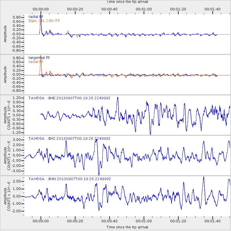
Earthquake location: Near Coast Of Chiapas, Mexico
Earthquake latitude/longitude: 14.6/-92.1
Earthquake time(UTC): 2013/09/07 (250) 00:13:29 GMT
Earthquake Depth: 66 km
Earthquake Magnitude: 6.4 MWW, 6.4 MWB, 6.4 MWC, 6.4 MWW, 6.5 MWC
Earthquake Catalog/Contributor: NEIC PDE/NEIC COMCAT
Network: TA USArray Transportable Network (new EarthScope stations)
Station: H56A Elgin, ON, CAN
Lat/Lon: 44.59 N/76.26 W
Elevation: 137 m
Distance: 32.8 deg
Az: 21.135 deg
Baz: 209.246 deg
Ray Param: 0.07834131
Estimated Moho Depth: 37.25 km
Estimated Crust Vp/Vs: 2.09
Assumed Crust Vp: 6.577 km/s
Estimated Crust Vs: 3.151 km/s
Estimated Crust Poisson's Ratio: 0.35
Radial Match: 91.31692 %
Radial Bump: 239
Transverse Match: 52.786602 %
Transverse Bump: 400
SOD ConfigId: 626651
Insert Time: 2014-04-18 15:07:03.646 +0000
GWidth: 2.5
Max Bumps: 400
Tol: 0.001

Signal To Noise

ChannelStoNSTALTA
TA:H56A: :BHZ:20130907T00:19:26.224999Z3.27502787.3037694E-72.2301396E-7
TA:H56A: :BHN:20130907T00:19:26.224999Z3.3916335.5519865E-71.6369655E-7
TA:H56A: :BHE:20130907T00:19:26.224999Z1.90537062.4409275E-71.2810776E-7
Arrivals
Ps6.6 SECOND
PpPs16 SECOND
PsPs/PpSs23 SECOND