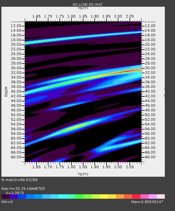
LCAR Lake Charles,AR - Earthquake Result Viewer

Earthquake location: Near Coast Of Peru
Earthquake latitude/longitude: -15.8/-74.5
Earthquake time(UTC): 2013/09/25 (268) 16:42:43 GMT
Earthquake Depth: 40 km
Earthquake Magnitude: 7.1 MWW, 6.8 MI, 7.0 MWB, 7.0 MWC, 7.1 MWW, 7.1 MWC
Earthquake Catalog/Contributor: NEIC PDE/NEIC COMCAT
Network: AG Arkansas Seismic Network
Station: LCAR Lake Charles,AR
Lat/Lon: 36.07 N/91.15 W
Elevation: 103 m
Distance: 54.0 deg
Az: 343.327 deg
Baz: 160.071 deg
Ray Param: 0.0656561
Estimated Moho Depth: 30.25 km
Estimated Crust Vp/Vs: 2.10
Assumed Crust Vp: 6.53 km/s
Estimated Crust Vs: 3.113 km/s
Estimated Crust Poisson's Ratio: 0.35
Radial Match: 96.93299 %
Radial Bump: 165
Transverse Match: 91.52394 %
Transverse Bump: 400
SOD ConfigId: 626651
Insert Time: 2014-04-18 20:05:40.906 +0000
GWidth: 2.5
Max Bumps: 400
Tol: 0.001

Signal To Noise

ChannelStoNSTALTA
AG:LCAR:00:HHZ:20130925T16:51:32.435015Z70.754751.0821422E-51.5294269E-7
AG:LCAR:00:HHN:20130925T16:51:32.435015Z25.4484235.4245643E-62.1315915E-7
AG:LCAR:00:HHE:20130925T16:51:32.435015Z16.6222951.8885956E-61.1361822E-7
Arrivals
Ps5.3 SECOND
PpPs14 SECOND
PsPs/PpSs19 SECOND