ZOU2 Zouf Plan - Earthquake Result Viewer
Earthquake location: Pakistan
Earthquake latitude/longitude: 27.2/65.5
Earthquake time(UTC): 2013/09/28 (271) 07:34:06 GMT
Earthquake Depth: 12 km
Earthquake Magnitude: 6.8 MWW, 6.8 MWW, 6.8 MWC, 6.8 MWB, 6.9 MWC
Earthquake Catalog/Contributor: NEIC PDE/NEIC COMCAT
Network: NI North-East Italy Broadband Network
Station: ZOU2 Zouf Plan
Lat/Lon: 46.56 N/12.97 E
Elevation: 1896 m
Distance: 45.3 deg
Az: 309.655 deg
Baz: 96.346 deg
Ray Param: 0.07133288
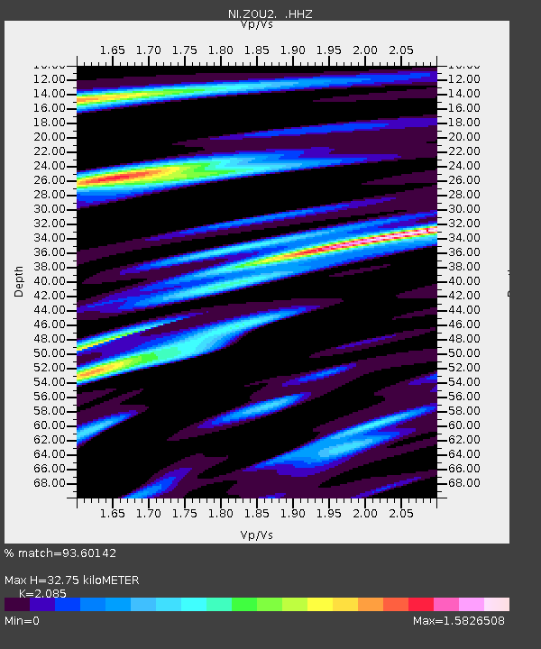
Estimated Moho Depth: 32.75 km
Estimated Crust Vp/Vs: 2.09
Assumed Crust Vp: 6.35 km/s
Estimated Crust Vs: 3.046 km/s
Estimated Crust Poisson's Ratio: 0.35
Radial Match: 93.60142 %
Radial Bump: 395
Transverse Match: 86.60394 %
Transverse Bump: 400
SOD ConfigId: 626651
Insert Time: 2014-04-18 21:34:45.628 +0000
GWidth: 2.5
Max Bumps: 400
Tol: 0.001

Signal To Noise

ChannelStoNSTALTA
NI:ZOU2: :HHZ:20130928T07:41:53.438007Z11.8222211.096515E-69.275034E-8
NI:ZOU2: :HHN:20130928T07:41:53.438007Z1.03004241.292271E-71.2545804E-7
NI:ZOU2: :HHE:20130928T07:41:53.438007Z7.5512976.425229E-78.508774E-8
Arrivals
Ps5.9 SECOND
PpPs15 SECOND
PsPs/PpSs21 SECOND