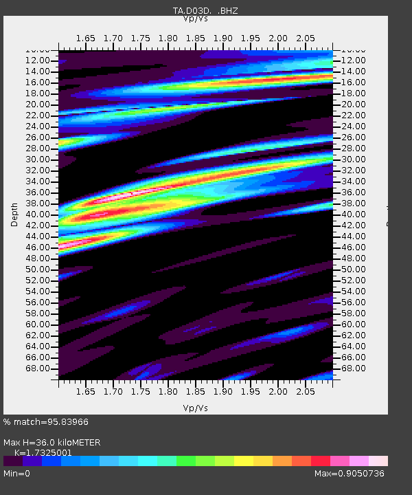
D03D Eldon, WA, USA - Earthquake Result Viewer

Earthquake location: Off East Coast Of Honshu, Japan
Earthquake latitude/longitude: 37.2/144.7
Earthquake time(UTC): 2013/10/25 (298) 17:10:19 GMT
Earthquake Depth: 35 km
Earthquake Magnitude: 7.1 MWW, 7.1 MWW, 7.1 MWB, 7.1 MWC, 7.2 MWC, 7.5 MI
Earthquake Catalog/Contributor: NEIC PDE/NEIC COMCAT
Network: TA USArray Transportable Network (new EarthScope stations)
Station: D03D Eldon, WA, USA
Lat/Lon: 47.53 N/123.09 W
Elevation: 262 m
Distance: 65.1 deg
Az: 48.286 deg
Baz: 298.34 deg
Ray Param: 0.058435842
Estimated Moho Depth: 36.0 km
Estimated Crust Vp/Vs: 1.73
Assumed Crust Vp: 6.566 km/s
Estimated Crust Vs: 3.79 km/s
Estimated Crust Poisson's Ratio: 0.25
Radial Match: 95.83966 %
Radial Bump: 400
Transverse Match: 95.69293 %
Transverse Bump: 400
SOD ConfigId: 626651
Insert Time: 2014-04-19 06:03:43.577 +0000
GWidth: 2.5
Max Bumps: 400
Tol: 0.001

Signal To Noise

ChannelStoNSTALTA
TA:D03D: :BHZ:20131025T17:20:26.025002Z54.5888675.9744257E-61.0944403E-7
TA:D03D: :BHN:20131025T17:20:26.025002Z11.8747091.0490172E-68.834045E-8
TA:D03D: :BHE:20131025T17:20:26.025002Z11.2286161.67966E-61.4958745E-7
Arrivals
Ps4.2 SECOND
PpPs14 SECOND
PsPs/PpSs19 SECOND