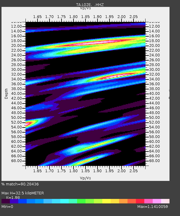
L02E Cave Junction, OR, USA - Earthquake Result Viewer

Earthquake location: Off East Coast Of Honshu, Japan
Earthquake latitude/longitude: 37.2/144.7
Earthquake time(UTC): 2013/10/25 (298) 17:10:19 GMT
Earthquake Depth: 35 km
Earthquake Magnitude: 7.1 MWW, 7.1 MWW, 7.1 MWB, 7.1 MWC, 7.2 MWC, 7.5 MI
Earthquake Catalog/Contributor: NEIC PDE/NEIC COMCAT
Network: TA USArray Transportable Network (new EarthScope stations)
Station: L02E Cave Junction, OR, USA
Lat/Lon: 42.16 N/123.60 W
Elevation: 454 m
Distance: 67.4 deg
Az: 53.606 deg
Baz: 300.123 deg
Ray Param: 0.056919727
Estimated Moho Depth: 32.5 km
Estimated Crust Vp/Vs: 1.98
Assumed Crust Vp: 6.522 km/s
Estimated Crust Vs: 3.294 km/s
Estimated Crust Poisson's Ratio: 0.33
Radial Match: 90.28436 %
Radial Bump: 364
Transverse Match: 86.05272 %
Transverse Bump: 400
SOD ConfigId: 626651
Insert Time: 2014-04-19 06:11:06.456 +0000
GWidth: 2.5
Max Bumps: 400
Tol: 0.001

Signal To Noise

ChannelStoNSTALTA
TA:L02E: :HHZ:20131025T17:20:40.780007Z21.132134.048301E-61.915709E-7
TA:L02E: :HHN:20131025T17:20:40.780007Z3.75487147.258968E-71.9332136E-7
TA:L02E: :HHE:20131025T17:20:40.780007Z7.0876411.4203735E-62.0040146E-7
Arrivals
Ps5.1 SECOND
PpPs14 SECOND
PsPs/PpSs19 SECOND