P54A Burton, WV, USA - Earthquake Result Viewer
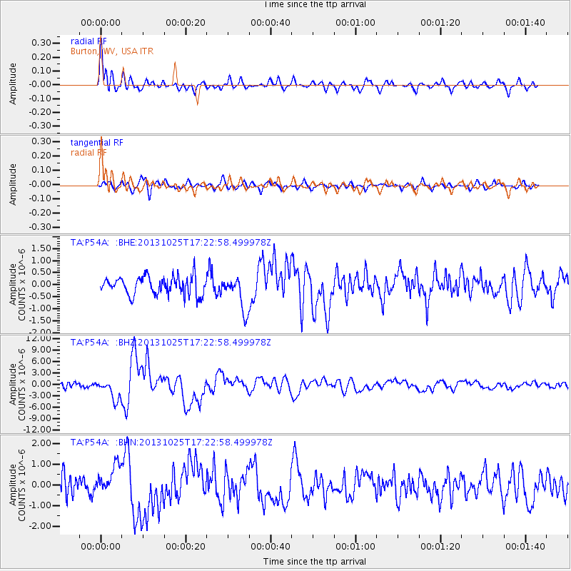
Earthquake location: Off East Coast Of Honshu, Japan
Earthquake latitude/longitude: 37.2/144.7
Earthquake time(UTC): 2013/10/25 (298) 17:10:19 GMT
Earthquake Depth: 35 km
Earthquake Magnitude: 7.1 MWW, 7.1 MWW, 7.1 MWB, 7.1 MWC, 7.2 MWC, 7.5 MI
Earthquake Catalog/Contributor: NEIC PDE/NEIC COMCAT
Network: TA USArray Transportable Network (new EarthScope stations)
Station: P54A Burton, WV, USA
Lat/Lon: 39.61 N/80.48 W
Elevation: 473 m
Distance: 93.1 deg
Az: 33.255 deg
Baz: 325.449 deg
Ray Param: 0.041322757
Estimated Moho Depth: 14.25 km
Estimated Crust Vp/Vs: 2.10
Assumed Crust Vp: 6.207 km/s
Estimated Crust Vs: 2.959 km/s
Estimated Crust Poisson's Ratio: 0.35
Radial Match: 88.485565 %
Radial Bump: 400
Transverse Match: 68.82191 %
Transverse Bump: 400
SOD ConfigId: 626651
Insert Time: 2014-04-19 06:15:00.193 +0000
GWidth: 2.5
Max Bumps: 400
Tol: 0.001

Signal To Noise

ChannelStoNSTALTA
TA:P54A: :BHZ:20131025T17:22:58.499978Z5.2306222.7672816E-65.2905403E-7
TA:P54A: :BHN:20131025T17:22:58.499978Z1.68182287.4507875E-74.4301856E-7
TA:P54A: :BHE:20131025T17:22:58.499978Z1.97785167.4211005E-73.7521016E-7
Arrivals
Ps2.6 SECOND
PpPs7.0 SECOND
PsPs/PpSs9.6 SECOND