R52A Catlettsburg, KY, USA - Earthquake Result Viewer
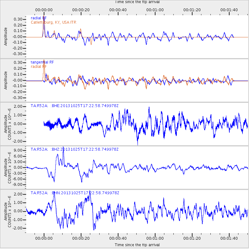
Earthquake location: Off East Coast Of Honshu, Japan
Earthquake latitude/longitude: 37.2/144.7
Earthquake time(UTC): 2013/10/25 (298) 17:10:19 GMT
Earthquake Depth: 35 km
Earthquake Magnitude: 7.1 MWW, 7.1 MWW, 7.1 MWB, 7.1 MWC, 7.2 MWC, 7.5 MI
Earthquake Catalog/Contributor: NEIC PDE/NEIC COMCAT
Network: TA USArray Transportable Network (new EarthScope stations)
Station: R52A Catlettsburg, KY, USA
Lat/Lon: 38.34 N/82.64 W
Elevation: 300 m
Distance: 93.1 deg
Az: 35.37 deg
Baz: 323.979 deg
Ray Param: 0.04131041
Estimated Moho Depth: 59.25 km
Estimated Crust Vp/Vs: 1.85
Assumed Crust Vp: 6.232 km/s
Estimated Crust Vs: 3.368 km/s
Estimated Crust Poisson's Ratio: 0.29
Radial Match: 87.129234 %
Radial Bump: 400
Transverse Match: 71.44616 %
Transverse Bump: 400
SOD ConfigId: 626651
Insert Time: 2014-04-19 06:16:15.315 +0000
GWidth: 2.5
Max Bumps: 400
Tol: 0.001

Signal To Noise

ChannelStoNSTALTA
TA:R52A: :BHZ:20131025T17:22:58.749978Z11.0775332.648461E-62.3908402E-7
TA:R52A: :BHN:20131025T17:22:58.749978Z2.75251656.3230874E-72.2972023E-7
TA:R52A: :BHE:20131025T17:22:58.749978Z1.53353016.4489086E-74.2052702E-7
Arrivals
Ps8.2 SECOND
PpPs27 SECOND
PsPs/PpSs35 SECOND