R55A Marlinton, WV, USA - Earthquake Result Viewer
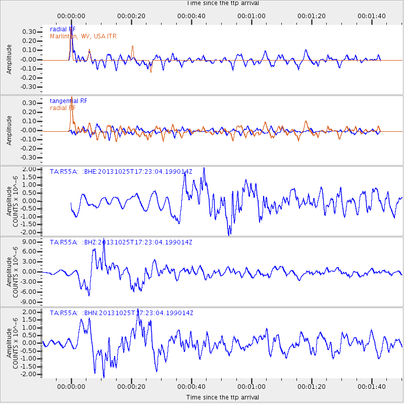
Earthquake location: Off East Coast Of Honshu, Japan
Earthquake latitude/longitude: 37.2/144.7
Earthquake time(UTC): 2013/10/25 (298) 17:10:19 GMT
Earthquake Depth: 35 km
Earthquake Magnitude: 7.1 MWW, 7.1 MWW, 7.1 MWB, 7.1 MWC, 7.2 MWC, 7.5 MI
Earthquake Catalog/Contributor: NEIC PDE/NEIC COMCAT
Network: TA USArray Transportable Network (new EarthScope stations)
Station: R55A Marlinton, WV, USA
Lat/Lon: 38.28 N/80.12 W
Elevation: 833 m
Distance: 94.3 deg
Az: 33.774 deg
Baz: 325.641 deg
Ray Param: 0.04105821
Estimated Moho Depth: 42.25 km
Estimated Crust Vp/Vs: 1.89
Assumed Crust Vp: 6.207 km/s
Estimated Crust Vs: 3.275 km/s
Estimated Crust Poisson's Ratio: 0.31
Radial Match: 87.8591 %
Radial Bump: 400
Transverse Match: 58.943348 %
Transverse Bump: 400
SOD ConfigId: 626651
Insert Time: 2014-04-19 06:16:26.356 +0000
GWidth: 2.5
Max Bumps: 400
Tol: 0.001

Signal To Noise

ChannelStoNSTALTA
TA:R55A: :BHZ:20131025T17:23:04.199014Z8.7068712.3489897E-62.6978574E-7
TA:R55A: :BHN:20131025T17:23:04.199014Z4.5964247.881702E-71.7147464E-7
TA:R55A: :BHE:20131025T17:23:04.199014Z1.53770365.4373834E-73.5360415E-7
Arrivals
Ps6.2 SECOND
PpPs19 SECOND
PsPs/PpSs26 SECOND