W41B Gary Mavity, Velonia, AR, USA - Earthquake Result Viewer
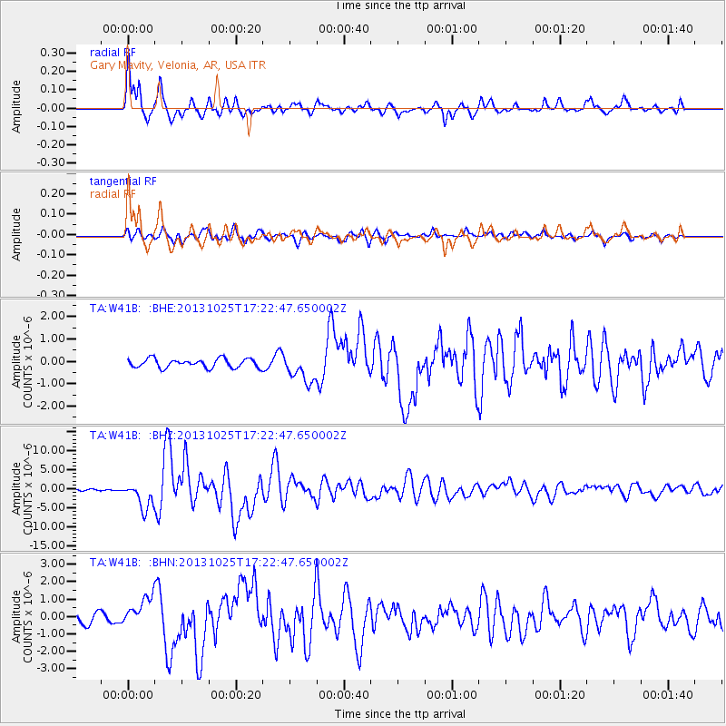
Earthquake location: Off East Coast Of Honshu, Japan
Earthquake latitude/longitude: 37.2/144.7
Earthquake time(UTC): 2013/10/25 (298) 17:10:19 GMT
Earthquake Depth: 35 km
Earthquake Magnitude: 7.1 MWW, 7.1 MWW, 7.1 MWB, 7.1 MWC, 7.2 MWC, 7.5 MI
Earthquake Catalog/Contributor: NEIC PDE/NEIC COMCAT
Network: TA USArray Transportable Network (new EarthScope stations)
Station: W41B Gary Mavity, Velonia, AR, USA
Lat/Lon: 35.17 N/92.25 W
Elevation: 95 m
Distance: 90.7 deg
Az: 43.346 deg
Baz: 317.978 deg
Ray Param: 0.041649368
Estimated Moho Depth: 13.25 km
Estimated Crust Vp/Vs: 2.01
Assumed Crust Vp: 6.498 km/s
Estimated Crust Vs: 3.229 km/s
Estimated Crust Poisson's Ratio: 0.34
Radial Match: 93.348274 %
Radial Bump: 400
Transverse Match: 81.43596 %
Transverse Bump: 400
SOD ConfigId: 626651
Insert Time: 2014-04-19 06:19:28.413 +0000
GWidth: 2.5
Max Bumps: 400
Tol: 0.001

Signal To Noise

ChannelStoNSTALTA
TA:W41B: :BHZ:20131025T17:22:47.650002Z13.6877293.5247672E-62.575129E-7
TA:W41B: :BHN:20131025T17:22:47.650002Z3.3662548.518504E-72.530559E-7
TA:W41B: :BHE:20131025T17:22:47.650002Z3.26021896.445233E-71.9769327E-7
Arrivals
Ps2.1 SECOND
PpPs6.0 SECOND
PsPs/PpSs8.1 SECOND