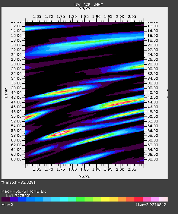
LCCR Mulino, OR, USA - Earthquake Result Viewer

Earthquake location: Off East Coast Of Honshu, Japan
Earthquake latitude/longitude: 37.2/144.7
Earthquake time(UTC): 2013/10/25 (298) 17:10:19 GMT
Earthquake Depth: 35 km
Earthquake Magnitude: 7.1 MWW, 7.1 MWW, 7.1 MWB, 7.1 MWC, 7.2 MWC, 7.5 MI
Earthquake Catalog/Contributor: NEIC PDE/NEIC COMCAT
Network: UW Pacific Northwest Regional Seismic Network
Station: LCCR Mulino, OR, USA
Lat/Lon: 45.21 N/122.48 W
Elevation: 273 m
Distance: 66.6 deg
Az: 50.295 deg
Baz: 299.603 deg
Ray Param: 0.05745228
Estimated Moho Depth: 56.75 km
Estimated Crust Vp/Vs: 1.75
Assumed Crust Vp: 6.566 km/s
Estimated Crust Vs: 3.757 km/s
Estimated Crust Poisson's Ratio: 0.26
Radial Match: 85.6291 %
Radial Bump: 400
Transverse Match: 84.12669 %
Transverse Bump: 400
SOD ConfigId: 626651
Insert Time: 2014-04-19 06:25:40.356 +0000
GWidth: 2.5
Max Bumps: 400
Tol: 0.001

Signal To Noise

ChannelStoNSTALTA
UW:LCCR: :HHZ:20131025T17:20:35.637979Z21.7198895.9304352E-62.730417E-7
UW:LCCR: :HHN:20131025T17:20:35.637979Z5.94488531.4371266E-62.417417E-7
UW:LCCR: :HHE:20131025T17:20:35.637979Z11.2239262.0944558E-61.8660636E-7
Arrivals
Ps6.7 SECOND
PpPs23 SECOND
PsPs/PpSs29 SECOND