G60A Masonville, QC, CAN - Earthquake Result Viewer
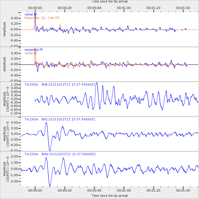
Earthquake location: Near Coast Of Central Chile
Earthquake latitude/longitude: -30.3/-71.5
Earthquake time(UTC): 2013/10/31 (304) 23:03:59 GMT
Earthquake Depth: 27 km
Earthquake Magnitude: 6.6 MWW, 6.4 MWB, 6.5 MWC, 6.6 MWW, 6.6 MI
Earthquake Catalog/Contributor: NEIC PDE/NEIC COMCAT
Network: TA USArray Transportable Network (new EarthScope stations)
Station: G60A Masonville, QC, CAN
Lat/Lon: 45.10 N/72.33 W
Elevation: 391 m
Distance: 75.0 deg
Az: 359.405 deg
Baz: 179.273 deg
Ray Param: 0.05190198
Estimated Moho Depth: 12.0 km
Estimated Crust Vp/Vs: 1.78
Assumed Crust Vp: 6.419 km/s
Estimated Crust Vs: 3.611 km/s
Estimated Crust Poisson's Ratio: 0.27
Radial Match: 90.27324 %
Radial Bump: 368
Transverse Match: 81.66274 %
Transverse Bump: 400
SOD ConfigId: 626651
Insert Time: 2014-04-19 09:12:15.652 +0000
GWidth: 2.5
Max Bumps: 400
Tol: 0.001

Signal To Noise

ChannelStoNSTALTA
TA:G60A: :BHZ:20131031T23:15:07.649993Z2.96192658.0529713E-72.718829E-7
TA:G60A: :BHN:20131031T23:15:07.649993Z1.73382693.967492E-72.288286E-7
TA:G60A: :BHE:20131031T23:15:07.649993Z1.59400833.0346055E-71.9037576E-7
Arrivals
Ps1.5 SECOND
PpPs5.0 SECOND
PsPs/PpSs6.5 SECOND