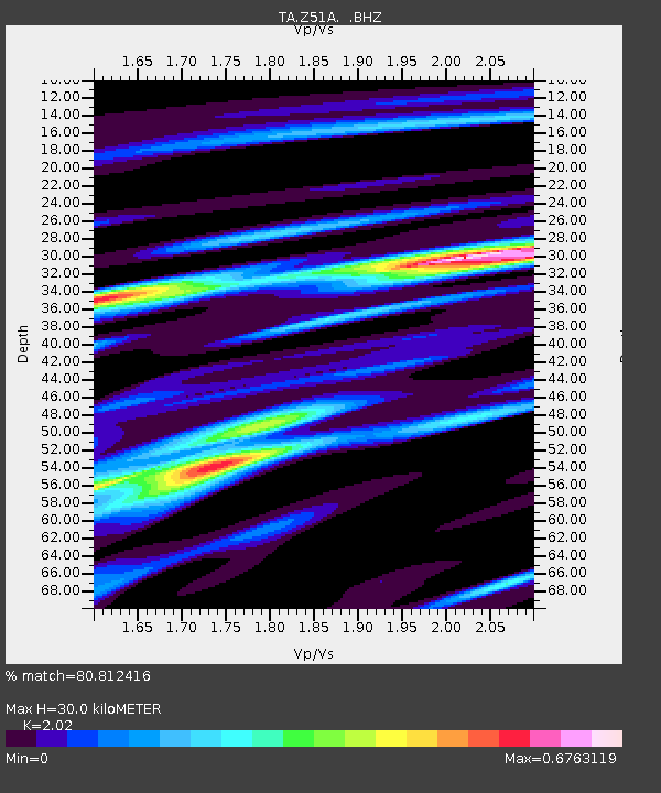
Z51A Franklin, GA, USA - Earthquake Result Viewer

Earthquake location: Near East Coast Of Kamchatka
Earthquake latitude/longitude: 54.7/162.3
Earthquake time(UTC): 2013/11/12 (316) 07:03:51 GMT
Earthquake Depth: 43 km
Earthquake Magnitude: 6.4 MWW, 6.3 MWC, 6.4 MWW, 6.4 MWB, 6.5 MWC, 6.6 MI
Earthquake Catalog/Contributor: NEIC PDE/NEIC COMCAT
Network: TA USArray Transportable Network (new EarthScope stations)
Station: Z51A Franklin, GA, USA
Lat/Lon: 33.32 N/85.17 W
Elevation: 249 m
Distance: 75.0 deg
Az: 53.203 deg
Baz: 326.27 deg
Ray Param: 0.051886678
Estimated Moho Depth: 30.0 km
Estimated Crust Vp/Vs: 2.02
Assumed Crust Vp: 6.719 km/s
Estimated Crust Vs: 3.326 km/s
Estimated Crust Poisson's Ratio: 0.34
Radial Match: 80.812416 %
Radial Bump: 339
Transverse Match: 61.68952 %
Transverse Bump: 400
SOD ConfigId: 626651
Insert Time: 2014-04-19 14:00:22.410 +0000
GWidth: 2.5
Max Bumps: 400
Tol: 0.001

Signal To Noise

ChannelStoNSTALTA
TA:Z51A: :BHZ:20131112T07:14:57.024021Z4.36963561.1554083E-62.6441757E-7
TA:Z51A: :BHN:20131112T07:14:57.024021Z1.92758264.2859E-72.2234585E-7
TA:Z51A: :BHE:20131112T07:14:57.024021Z0.98636893.435054E-73.4825246E-7
Arrivals
Ps4.7 SECOND
PpPs13 SECOND
PsPs/PpSs18 SECOND