KIV Kislovodsk, Russia - Earthquake Result Viewer
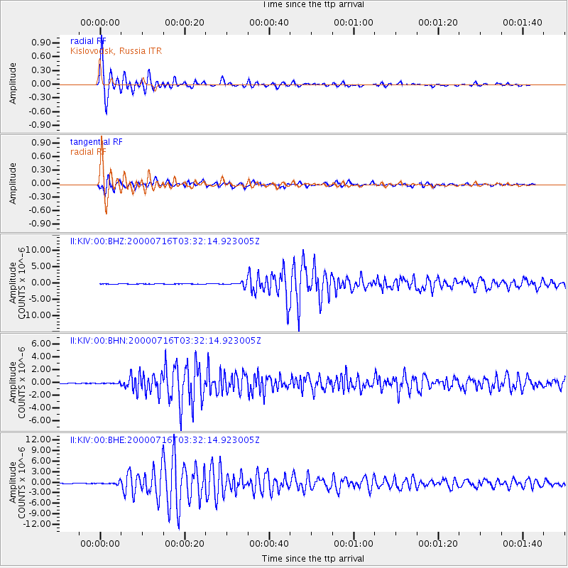
Earthquake location: Philippine Islands Region
Earthquake latitude/longitude: 20.3/122.0
Earthquake time(UTC): 2000/07/16 (198) 03:21:45 GMT
Earthquake Depth: 33 km
Earthquake Magnitude: 6.1 MB, 6.3 MS, 6.4 MW, 6.4 MW
Earthquake Catalog/Contributor: WHDF/NEIC
Network: II Global Seismograph Network (GSN - IRIS/IDA)
Station: KIV Kislovodsk, Russia
Lat/Lon: 43.96 N/42.69 E
Elevation: 1054 m
Distance: 68.7 deg
Az: 310.375 deg
Baz: 82.067 deg
Ray Param: 0.056082357
Estimated Moho Depth: 24.25 km
Estimated Crust Vp/Vs: 1.67
Assumed Crust Vp: 6.247 km/s
Estimated Crust Vs: 3.74 km/s
Estimated Crust Poisson's Ratio: 0.22
Radial Match: 98.82256 %
Radial Bump: 400
Transverse Match: 95.85744 %
Transverse Bump: 400
SOD ConfigId: 3744
Insert Time: 2010-03-01 18:06:10.911 +0000
GWidth: 2.5
Max Bumps: 400
Tol: 0.001

Signal To Noise

ChannelStoNSTALTA
II:KIV:00:BHN:20000716T03:32:14.923005Z1.76764027.8523975E-84.4423054E-8
II:KIV:00:BHE:20000716T03:32:14.923005Z6.2104763.3401932E-75.3783207E-8
II:KIV:00:BHZ:20000716T03:32:14.923005Z13.0222815.80257E-74.455878E-8
Arrivals
Ps2.7 SECOND
PpPs10.0 SECOND
PsPs/PpSs13 SECOND