KIV Kislovodsk, Russia - Earthquake Result Viewer
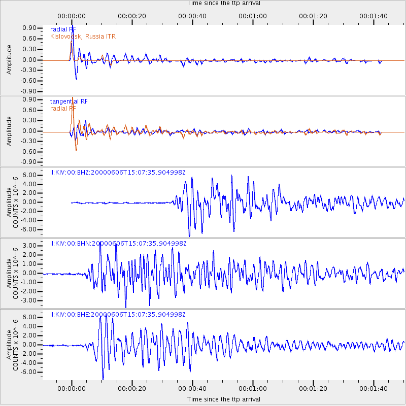
Earthquake location: Southeast Of Ryukyu Islands
Earthquake latitude/longitude: 29.4/131.4
Earthquake time(UTC): 2000/06/06 (158) 14:57:02 GMT
Earthquake Depth: 33 km
Earthquake Magnitude: 5.8 MB, 6.0 MS, 6.4 MW, 6.4 MW
Earthquake Catalog/Contributor: WHDF/NEIC
Network: II Global Seismograph Network (GSN - IRIS/IDA)
Station: KIV Kislovodsk, Russia
Lat/Lon: 43.96 N/42.69 E
Elevation: 1054 m
Distance: 69.4 deg
Az: 309.521 deg
Baz: 68.722 deg
Ray Param: 0.055627655
Estimated Moho Depth: 24.75 km
Estimated Crust Vp/Vs: 1.66
Assumed Crust Vp: 6.247 km/s
Estimated Crust Vs: 3.757 km/s
Estimated Crust Poisson's Ratio: 0.22
Radial Match: 98.80985 %
Radial Bump: 319
Transverse Match: 95.88451 %
Transverse Bump: 400
SOD ConfigId: 3744
Insert Time: 2010-03-01 18:07:32.012 +0000
GWidth: 2.5
Max Bumps: 400
Tol: 0.001

Signal To Noise

ChannelStoNSTALTA
II:KIV:00:BHN:20000606T15:07:35.904998Z1.8298237.04209E-83.848509E-8
II:KIV:00:BHE:20000606T15:07:35.904998Z1.51712518.877898E-85.85179E-8
II:KIV:00:BHZ:20000606T15:07:35.904998Z7.79280764.0683892E-75.220698E-8
Arrivals
Ps2.7 SECOND
PpPs10 SECOND
PsPs/PpSs13 SECOND