SNAA GEOFON/AWI Station Sanae, Antarctica - Earthquake Result Viewer
Earthquake location: North Island, New Zealand
Earthquake latitude/longitude: -40.7/175.8
Earthquake time(UTC): 2014/01/20 (020) 02:52:44 GMT
Earthquake Depth: 28 km
Earthquake Magnitude: 6.1 MWW, 6.2 MWB, 6.3 MWC
Earthquake Catalog/Contributor: NEIC PDE/NEIC COMCAT
Network: GE GEOFON
Station: SNAA GEOFON/AWI Station Sanae, Antarctica
Lat/Lon: 71.67 S/2.84 W
Elevation: 846 m
Distance: 68.0 deg
Az: 180.46 deg
Baz: 178.894 deg
Ray Param: 0.056569844
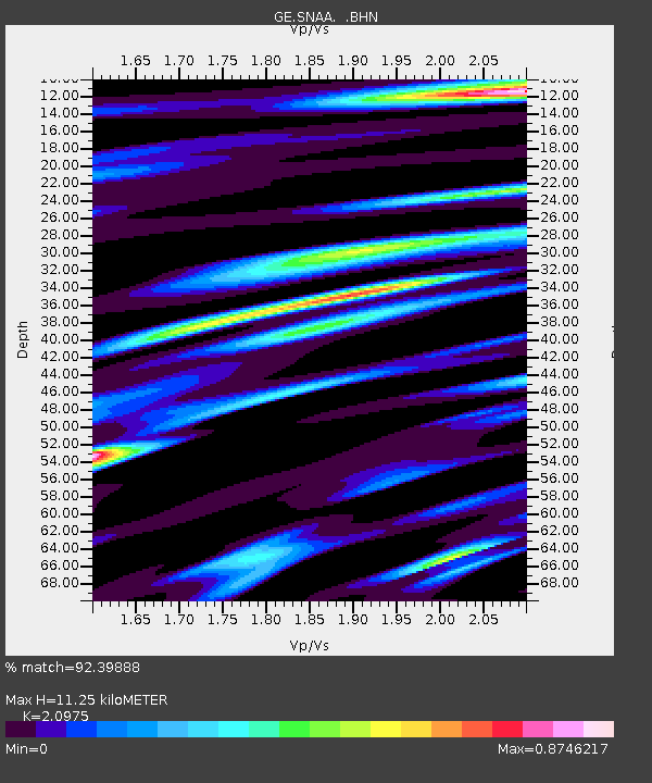
Estimated Moho Depth: 11.25 km
Estimated Crust Vp/Vs: 2.10
Assumed Crust Vp: 6.43 km/s
Estimated Crust Vs: 3.065 km/s
Estimated Crust Poisson's Ratio: 0.35
Radial Match: 92.39888 %
Radial Bump: 400
Transverse Match: 78.481865 %
Transverse Bump: 400
SOD ConfigId: 626651
Insert Time: 2014-04-20 10:22:21.563 +0000
GWidth: 2.5
Max Bumps: 400
Tol: 0.001

Signal To Noise

ChannelStoNSTALTA
GE:SNAA: :BHZ:20140120T03:03:09.761011Z14.9669379.8390665E-56.5738673E-6
GE:SNAA: :BHN:20140120T03:03:09.761011Z12.6773494.4108605E-53.479324E-6
GE:SNAA: :BHE:20140120T03:03:09.761011Z2.01479847.093649E-63.5207736E-6
Arrivals
Ps2.0 SECOND
PpPs5.2 SECOND
PsPs/PpSs7.2 SECOND