You are here: Home > Network List > GS - US Geological Survey Networks Stations List
> Station KAN10 Keim Farm > Earthquake Result Viewer
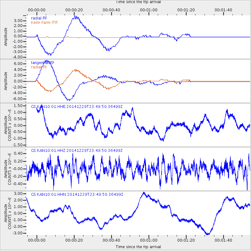
KAN10 Keim Farm - Earthquake Result Viewer
*The percent match for this event was below the threshold and hence no stack was calculated.
| Earthquake location: |
Fiji Islands Region |
| Earthquake latitude/longitude: |
-20.7/-177.6 |
| Earthquake time(UTC): |
2014/12/29 (363) 23:37:56 GMT |
| Earthquake Depth: |
495 km |
| Earthquake Magnitude: |
5.3 MW, 5.1 mb, 5.0 mB |
| Earthquake Catalog/Contributor: |
ISC/ISC |
|
| Network: |
GS US Geological Survey Networks |
| Station: |
KAN10 Keim Farm |
| Lat/Lon: |
37.12 N/98.10 W |
| Elevation: |
417 m |
|
| Distance: |
94.3 deg |
| Az: |
52.01 deg |
| Baz: |
247.392 deg |
| Ray Param: |
$rayparam |
*The percent match for this event was below the threshold and hence was not used in the summary stack. |
|
| Radial Match: |
42.969707 % |
| Radial Bump: |
400 |
| Transverse Match: |
55.009075 % |
| Transverse Bump: |
400 |
| SOD ConfigId: |
3390531 |
| Insert Time: |
2019-04-15 20:41:01.720 +0000 |
| GWidth: |
2.5 |
| Max Bumps: |
400 |
| Tol: |
0.001 |
|
Signal To Noise
| Channel | StoN | STA | LTA |
| GS:KAN10:01:HHZ:20141229T23:49:50.36499Z | 0.6323594 | 1.1285563E-7 | 1.7846754E-7 |
| GS:KAN10:01:HHN:20141229T23:49:50.36499Z | 1.3476747 | 1.3134636E-6 | 9.746146E-7 |
| GS:KAN10:01:HHE:20141229T23:49:50.36499Z | 0.69082403 | 4.4463093E-7 | 6.43624E-7 |
| Arrivals |
| Ps | |
| PpPs | |
| PsPs/PpSs | |


