XMI Christmas Island Airport - Earthquake Result Viewer
Earthquake location: Ryukyu Islands, Japan
Earthquake latitude/longitude: 27.4/127.4
Earthquake time(UTC): 2014/03/02 (061) 20:11:23 GMT
Earthquake Depth: 119 km
Earthquake Magnitude: 6.5 MWW, 6.4 MWB, 6.5 MWC, 6.6 MI, 6.7 MI
Earthquake Catalog/Contributor: NEIC PDE/NEIC COMCAT
Network: AU Australian Seismological Centre
Station: XMI Christmas Island Airport
Lat/Lon: 10.45 S/105.69 E
Elevation: 252 m
Distance: 43.1 deg
Az: 212.109 deg
Baz: 28.705 deg
Ray Param: 0.07231867
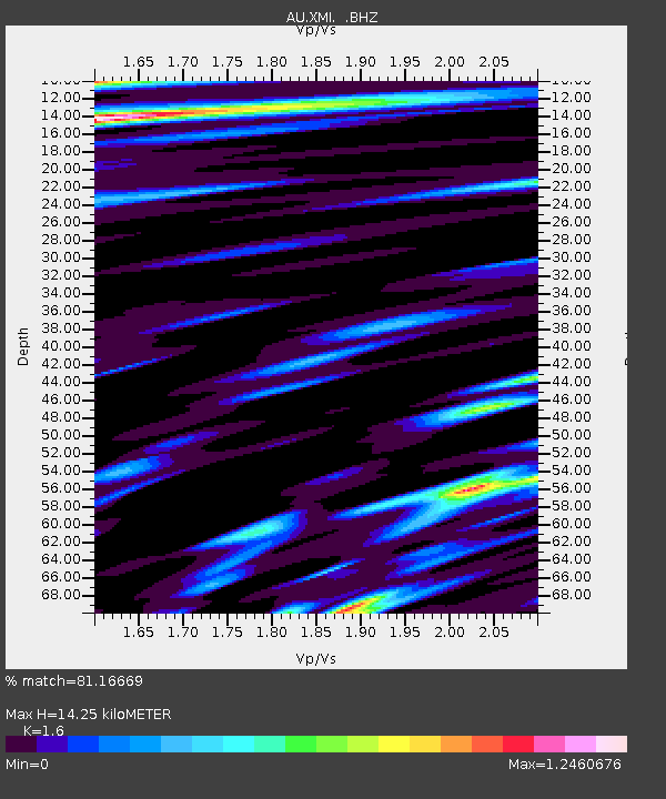
Estimated Moho Depth: 14.25 km
Estimated Crust Vp/Vs: 1.60
Assumed Crust Vp: 4.157 km/s
Estimated Crust Vs: 2.598 km/s
Estimated Crust Poisson's Ratio: 0.18
Radial Match: 81.16669 %
Radial Bump: 400
Transverse Match: 57.523735 %
Transverse Bump: 400
SOD ConfigId: 626651
Insert Time: 2014-04-21 00:00:09.665 +0000
GWidth: 2.5
Max Bumps: 400
Tol: 0.001

Signal To Noise

ChannelStoNSTALTA
AU:XMI: :BHZ:20140302T20:18:41.569008Z2.82619761.11633E-63.949936E-7
AU:XMI: :BHN:20140302T20:18:41.569008Z1.45316459.384117E-76.4577114E-7
AU:XMI: :BHE:20140302T20:18:41.569008Z0.95293344.3019887E-74.5144697E-7
Arrivals
Ps2.1 SECOND
PpPs8.7 SECOND
PsPs/PpSs11 SECOND