MTDJ Mount Denham, Jamaica - Earthquake Result Viewer
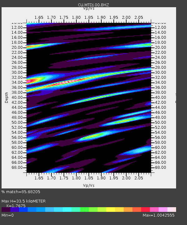
Earthquake location: Off Coast Of Northern California
Earthquake latitude/longitude: 40.8/-125.1
Earthquake time(UTC): 2014/03/10 (069) 05:18:13 GMT
Earthquake Depth: 17 km
Earthquake Magnitude: 6.8 MW, 6.8 MWR, 6.9 MWW, 6.9 MWB, 7.0 MI, 7.0 MWC
Earthquake Catalog/Contributor: NEIC PDE/NEIC COMCAT
Network: CU Caribbean Network (USGS)
Station: MTDJ Mount Denham, Jamaica
Lat/Lon: 18.23 N/77.53 W
Elevation: 925 m
Distance: 46.5 deg
Az: 104.499 deg
Baz: 309.379 deg
Ray Param: 0.070611306
Estimated Moho Depth: 33.5 km
Estimated Crust Vp/Vs: 1.77
Assumed Crust Vp: 4.662 km/s
Estimated Crust Vs: 2.638 km/s
Estimated Crust Poisson's Ratio: 0.26
Radial Match: 85.68205 %
Radial Bump: 400
Transverse Match: 79.01427 %
Transverse Bump: 400
SOD ConfigId: 626651
Insert Time: 2014-04-21 02:59:44.737 +0000
GWidth: 2.5
Max Bumps: 400
Tol: 0.001

Signal To Noise

ChannelStoNSTALTA
CU:MTDJ:00:BHZ:20140310T05:26:08.525Z2.78153561.6598983E-65.9675614E-7
CU:MTDJ:00:BH1:20140310T05:26:08.525Z0.838805565.934961E-77.075491E-7
CU:MTDJ:00:BH2:20140310T05:26:08.525Z1.54981351.0262978E-66.622073E-7
Arrivals
Ps5.7 SECOND
PpPs19 SECOND
PsPs/PpSs25 SECOND