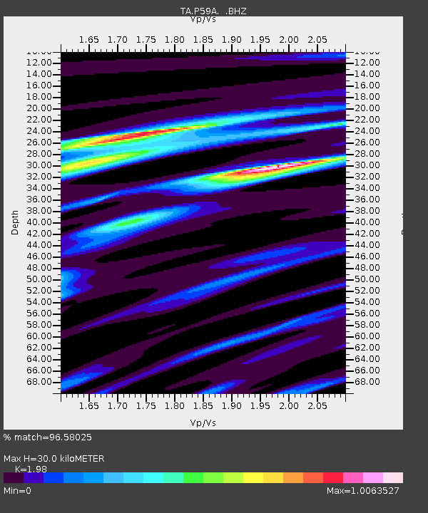
P59A Jarrettsville, MD, USA - Earthquake Result Viewer

Earthquake location: Off Coast Of Northern California
Earthquake latitude/longitude: 40.8/-125.1
Earthquake time(UTC): 2014/03/10 (069) 05:18:13 GMT
Earthquake Depth: 17 km
Earthquake Magnitude: 6.8 MW, 6.8 MWR, 6.9 MWW, 6.9 MWB, 7.0 MI, 7.0 MWC
Earthquake Catalog/Contributor: NEIC PDE/NEIC COMCAT
Network: TA USArray Transportable Network (new EarthScope stations)
Station: P59A Jarrettsville, MD, USA
Lat/Lon: 39.61 N/76.43 W
Elevation: 157 m
Distance: 36.8 deg
Az: 75.525 deg
Baz: 287.986 deg
Ray Param: 0.07645319
Estimated Moho Depth: 30.0 km
Estimated Crust Vp/Vs: 1.98
Assumed Crust Vp: 6.419 km/s
Estimated Crust Vs: 3.242 km/s
Estimated Crust Poisson's Ratio: 0.33
Radial Match: 96.58025 %
Radial Bump: 216
Transverse Match: 91.56526 %
Transverse Bump: 400
SOD ConfigId: 626651
Insert Time: 2014-04-21 03:16:31.999 +0000
GWidth: 2.5
Max Bumps: 400
Tol: 0.001

Signal To Noise

ChannelStoNSTALTA
TA:P59A: :BHZ:20140310T05:24:49.725012Z15.0197173.1360464E-62.0879531E-7
TA:P59A: :BHN:20140310T05:24:49.725012Z2.8802025.6888615E-71.9751606E-7
TA:P59A: :BHE:20140310T05:24:49.725012Z9.6380291.8616204E-61.9315364E-7
Arrivals
Ps4.9 SECOND
PpPs13 SECOND
PsPs/PpSs18 SECOND