BOSA Boshof, South Africa - Earthquake Result Viewer
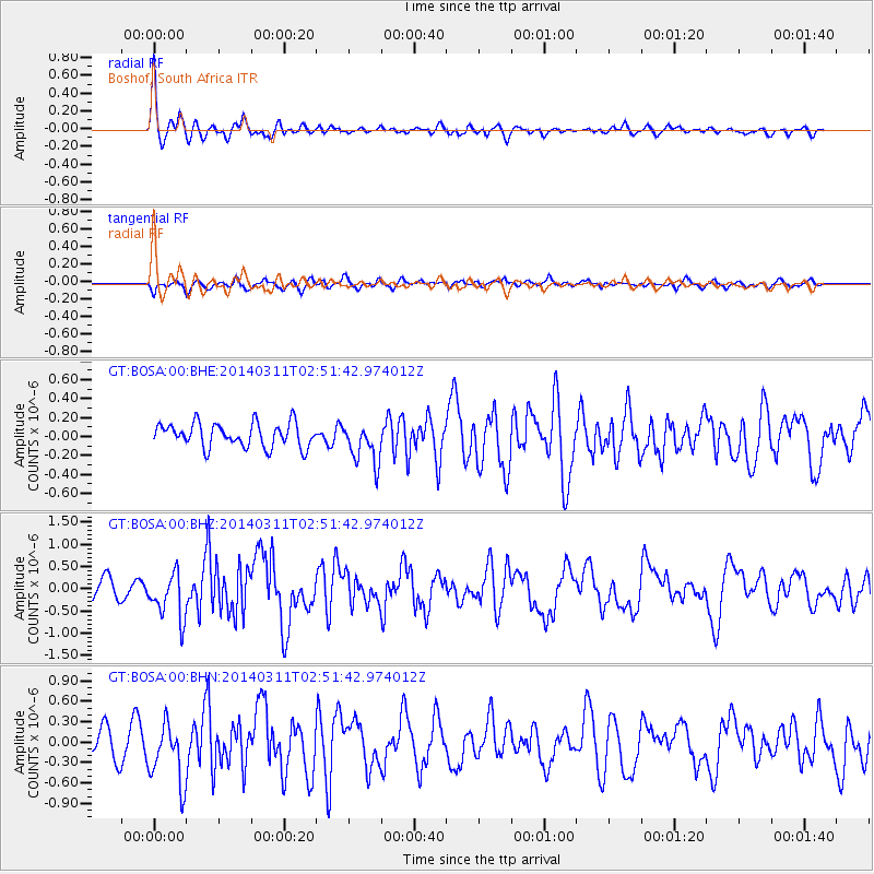
Earthquake location: East Of South Sandwich Islands
Earthquake latitude/longitude: -60.9/-20.0
Earthquake time(UTC): 2014/03/11 (070) 02:44:05 GMT
Earthquake Depth: 10 km
Earthquake Magnitude: 6.4 MWW, 6.4 MWB, 6.4 MWC, 6.8 MI
Earthquake Catalog/Contributor: NEIC PDE/NEIC COMCAT
Network: GT Global Telemetered Seismograph Network (USAF/USGS)
Station: BOSA Boshof, South Africa
Lat/Lon: 28.61 S/25.26 E
Elevation: 1280 m
Distance: 44.1 deg
Az: 63.828 deg
Baz: 209.972 deg
Ray Param: 0.07214341
Estimated Moho Depth: 35.75 km
Estimated Crust Vp/Vs: 1.68
Assumed Crust Vp: 6.459 km/s
Estimated Crust Vs: 3.839 km/s
Estimated Crust Poisson's Ratio: 0.23
Radial Match: 81.63332 %
Radial Bump: 400
Transverse Match: 62.446716 %
Transverse Bump: 400
SOD ConfigId: 626651
Insert Time: 2014-04-21 03:38:57.669 +0000
GWidth: 2.5
Max Bumps: 400
Tol: 0.001

Signal To Noise

ChannelStoNSTALTA
GT:BOSA:00:BHZ:20140311T02:51:42.974012Z1.84282355.200277E-72.821907E-7
GT:BOSA:00:BHN:20140311T02:51:42.974012Z2.4710944.4238064E-71.790222E-7
GT:BOSA:00:BHE:20140311T02:51:42.974012Z1.71723832.1764194E-71.2673951E-7
Arrivals
Ps4.1 SECOND
PpPs14 SECOND
PsPs/PpSs18 SECOND