MPG Montagne des Peres, French Guyana - Earthquake Result Viewer
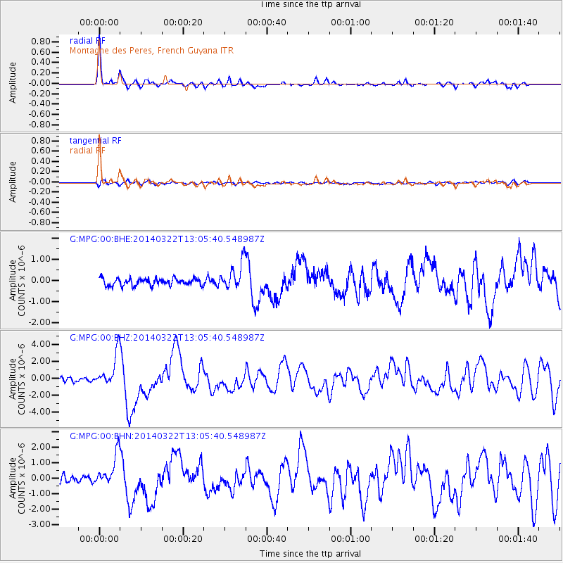
Earthquake location: Near Coast Of Northern Chile
Earthquake latitude/longitude: -19.8/-70.9
Earthquake time(UTC): 2014/03/22 (081) 12:59:59 GMT
Earthquake Depth: 20 km
Earthquake Magnitude: 6.2 MWW, 6.2 MWB, 6.3 MWC, 6.4 MWC
Earthquake Catalog/Contributor: NEIC PDE/NEIC COMCAT
Network: G GEOSCOPE
Station: MPG Montagne des Peres, French Guyana
Lat/Lon: 5.11 N/52.64 W
Elevation: 147 m
Distance: 30.5 deg
Az: 37.827 deg
Baz: 215.442 deg
Ray Param: 0.07929381
Estimated Moho Depth: 42.75 km
Estimated Crust Vp/Vs: 1.68
Assumed Crust Vp: 6.472 km/s
Estimated Crust Vs: 3.847 km/s
Estimated Crust Poisson's Ratio: 0.23
Radial Match: 91.75152 %
Radial Bump: 355
Transverse Match: 61.846584 %
Transverse Bump: 400
SOD ConfigId: 626651
Insert Time: 2014-04-21 10:22:23.790 +0000
GWidth: 2.5
Max Bumps: 400
Tol: 0.001

Signal To Noise

ChannelStoNSTALTA
G:MPG:00:BHZ:20140322T13:05:40.548987Z6.99311262.005058E-62.8671894E-7
G:MPG:00:BHN:20140322T13:05:40.548987Z4.95552731.0530175E-62.1249355E-7
G:MPG:00:BHE:20140322T13:05:40.548987Z3.97324786.667514E-71.6781019E-7
Arrivals
Ps4.9 SECOND
PpPs16 SECOND
PsPs/PpSs21 SECOND